From Porąbka Uszewska to the Viewing Tower on Bocheniec
Nearby: Tarnów, Brzesko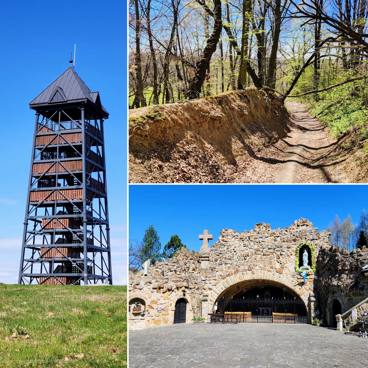
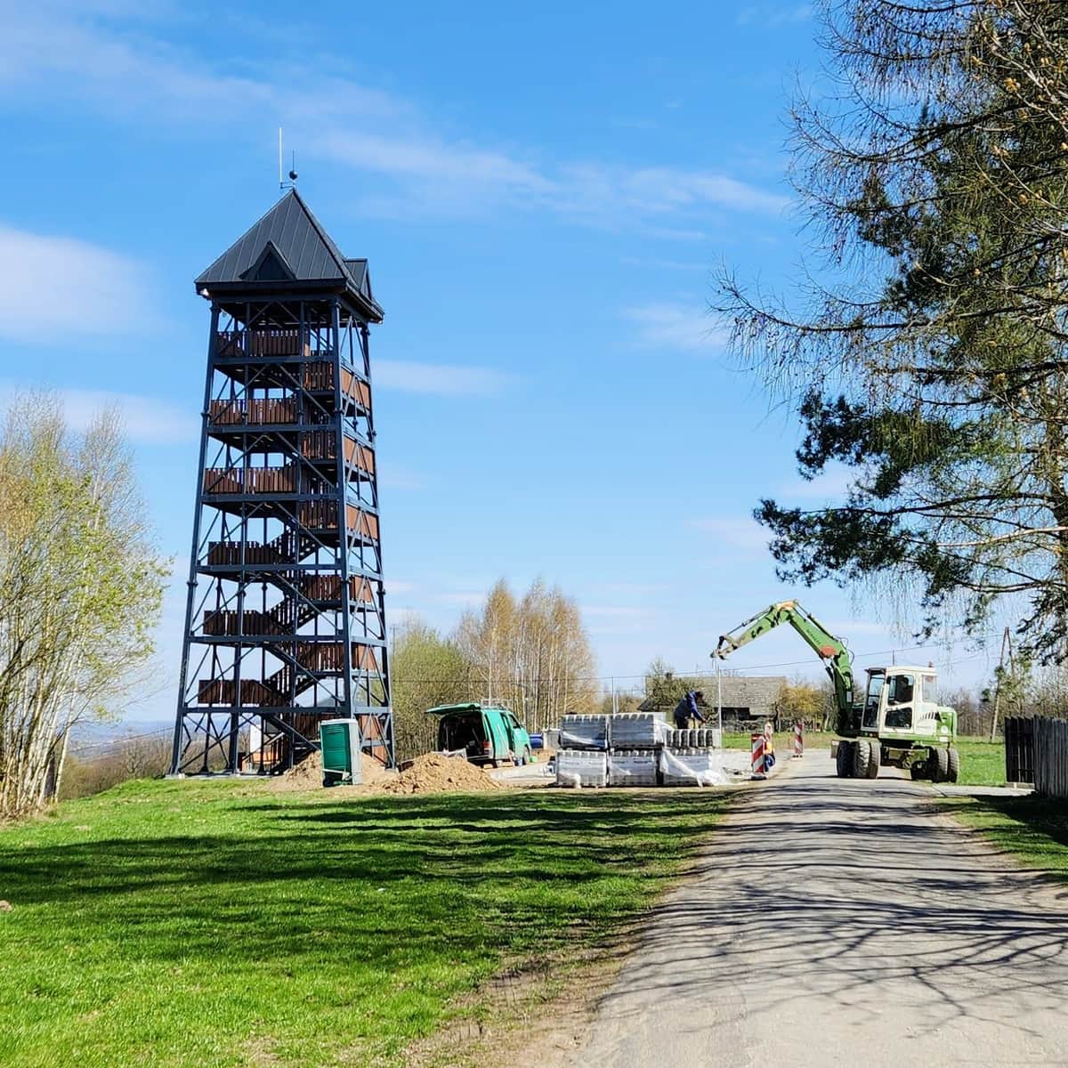
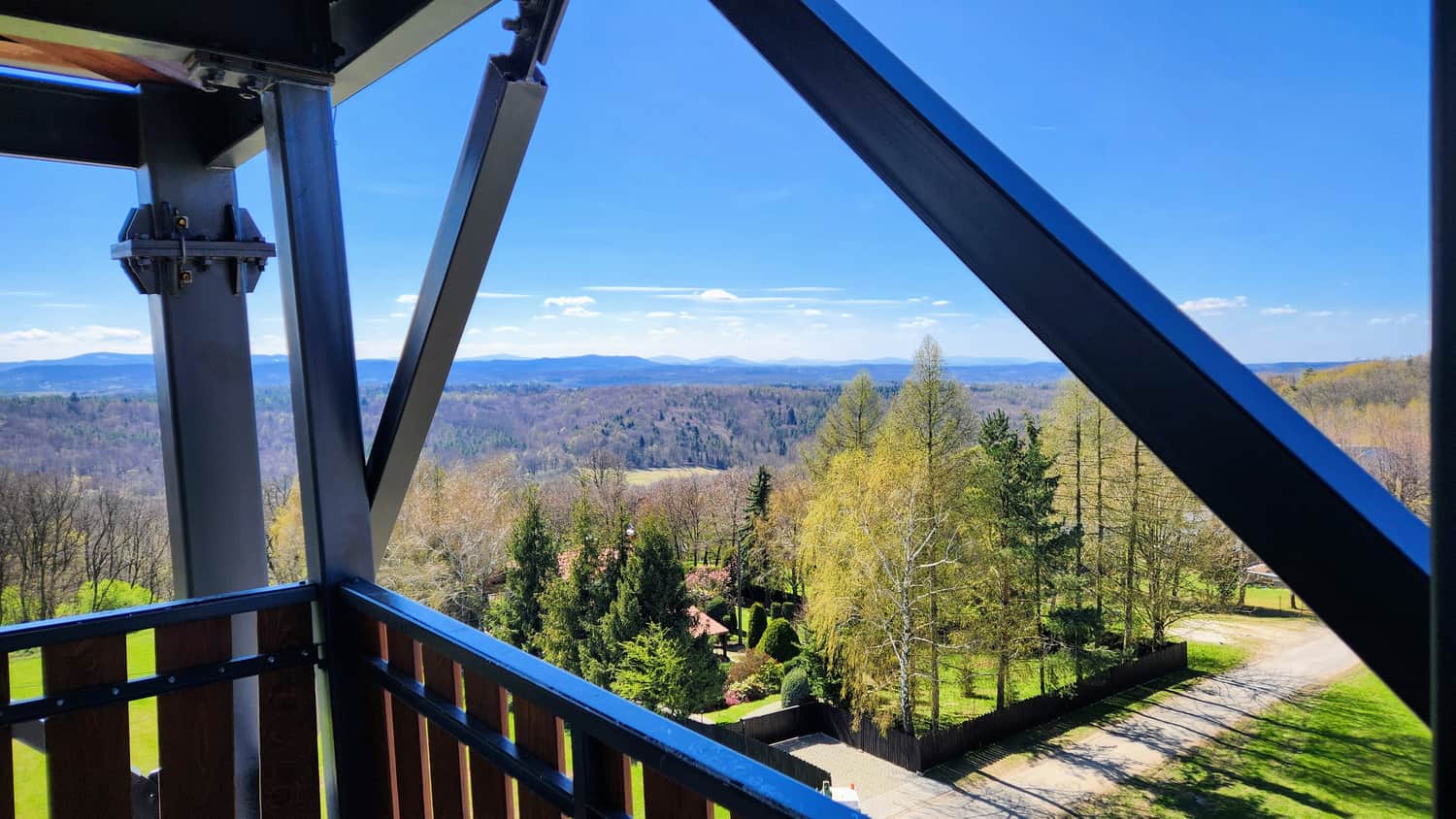
Viewing Tower on Bocheniec Hill (394 meters above sea level)
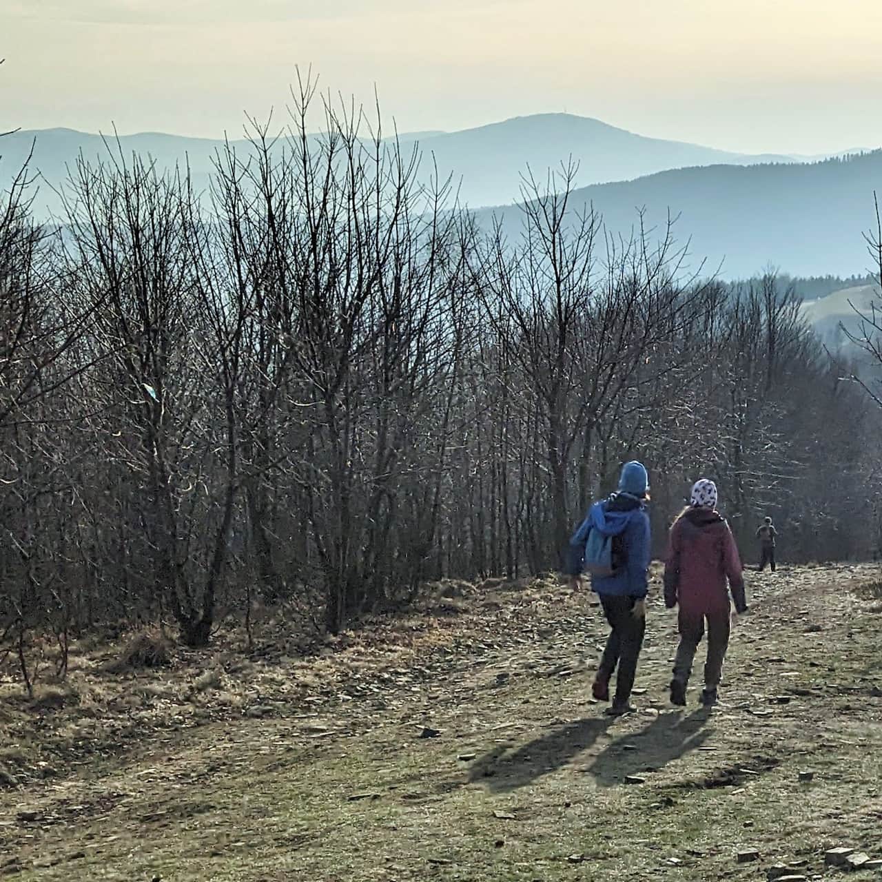
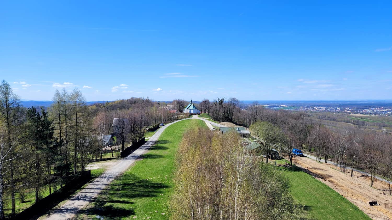
This is a six-story viewing tower located on the Okocimski Ridge, one of the northernmost parts of the Carpathian Foothills. From here, you can see the town of Brzesko and the northern areas of the Brzesko County. On clear days, you might even spot the Beskid Wyspowy Mountains and the majestic Tatra Mountains.
Interestingly, this place also has historical value. There was a settlement here connected to the Wiślan state, dating back to the 9th/10th century. Remnants of 4-meter high and 18-meter long embankments can still be seen.
You can drive right up to the tower, but for those who enjoy hiking, we describe below a trail leading to the tower from Porąbka Uszewska.
Getting There and Starting the Trail
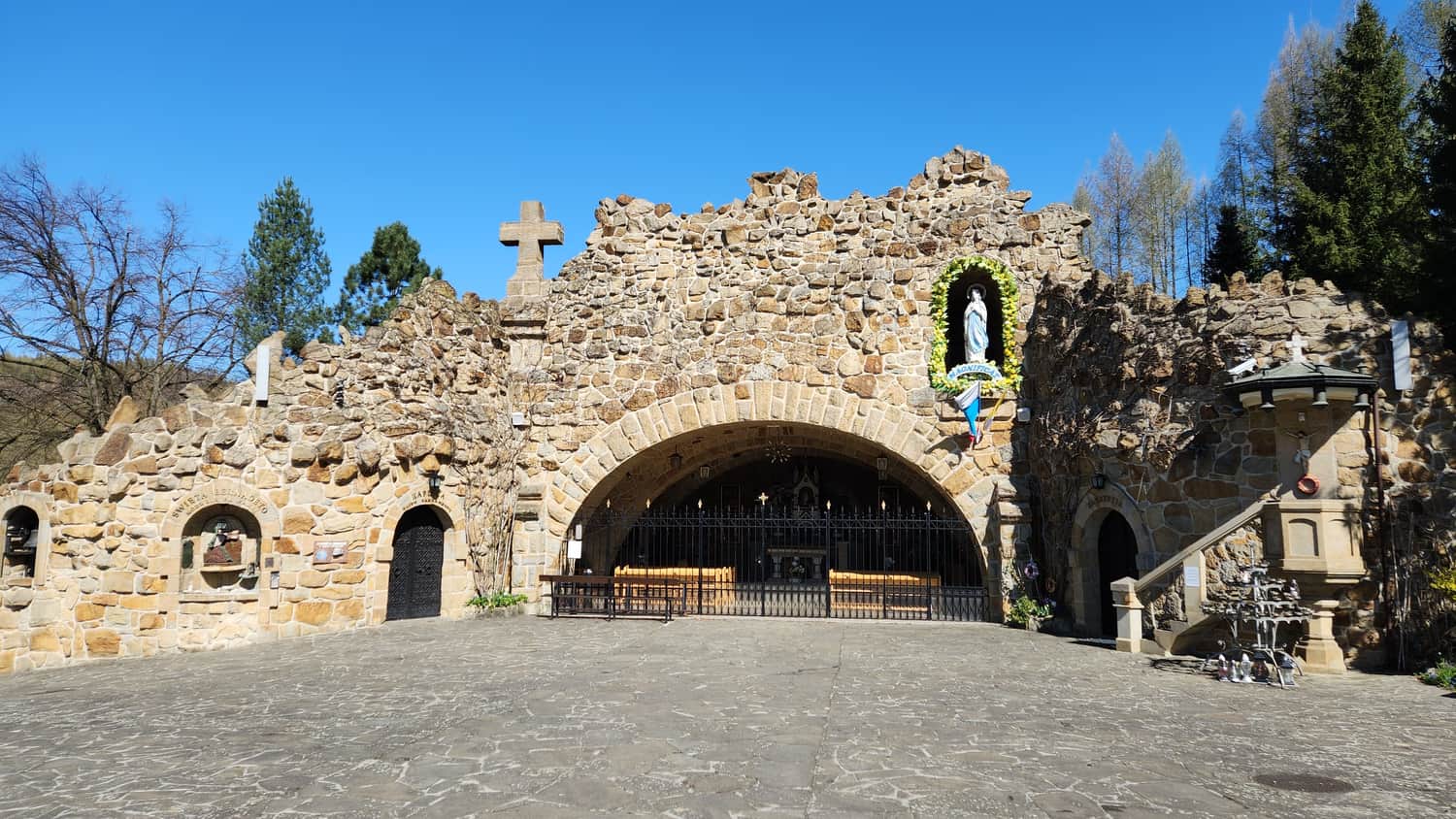
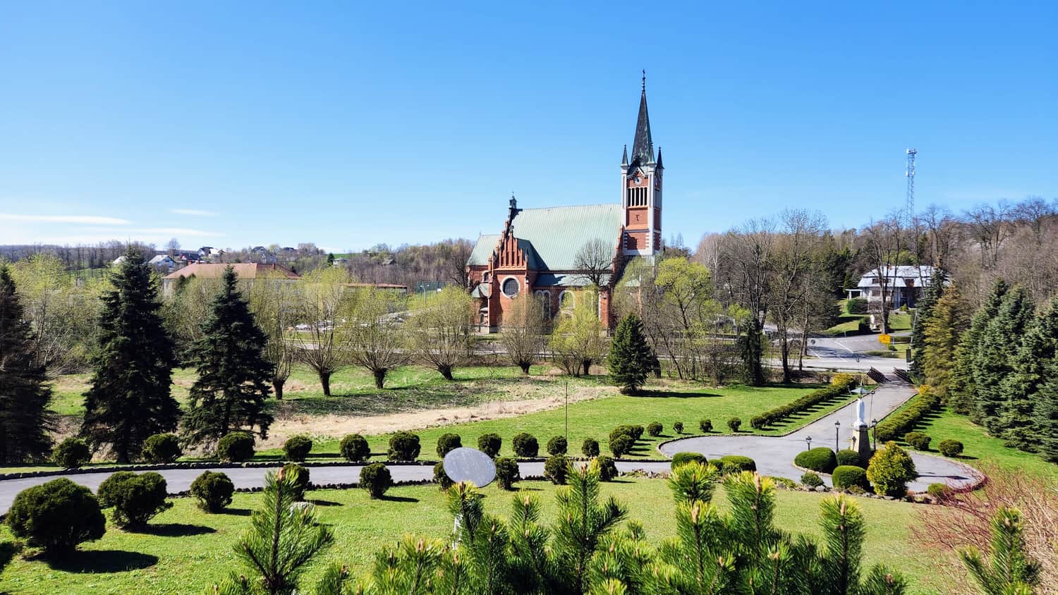
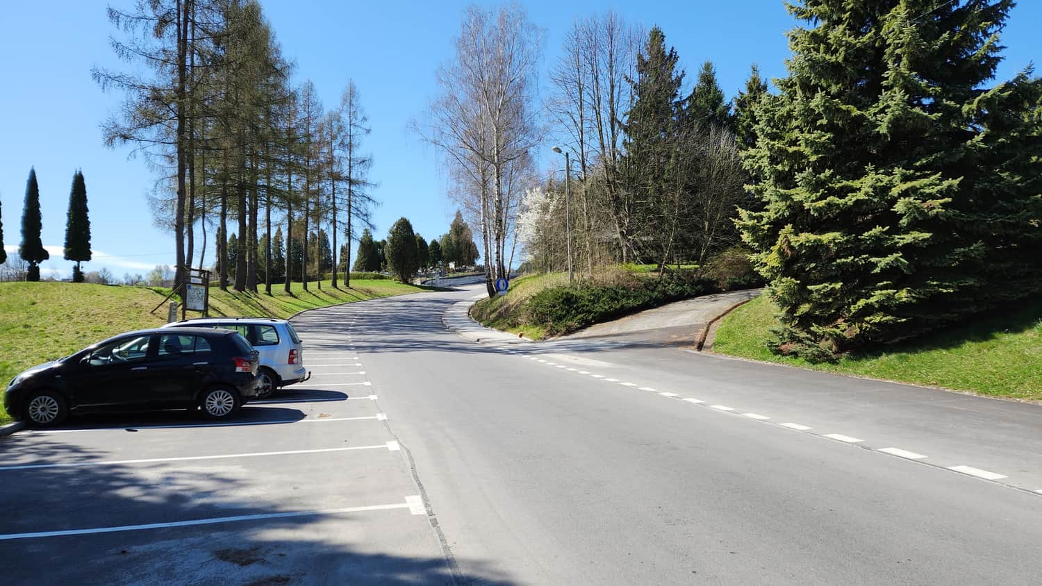
Porąbka Uszewska is not a tourist town and is mainly accessible by car. The most recognizable place in the town is the Grotto of Our Lady of Lourdes, and this is where we will start our hike. You can park your car near the church.
Trail Overview
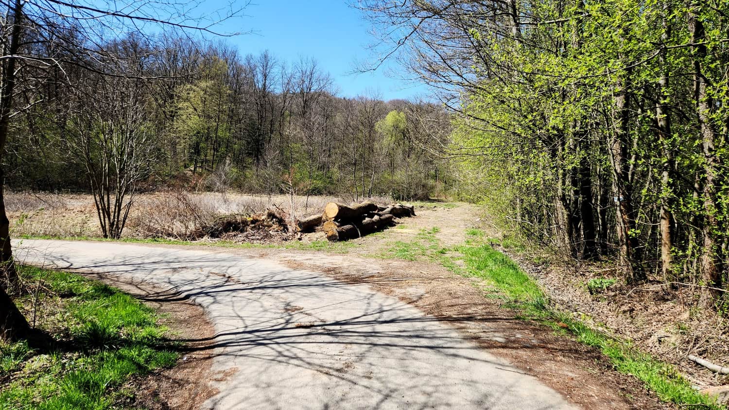
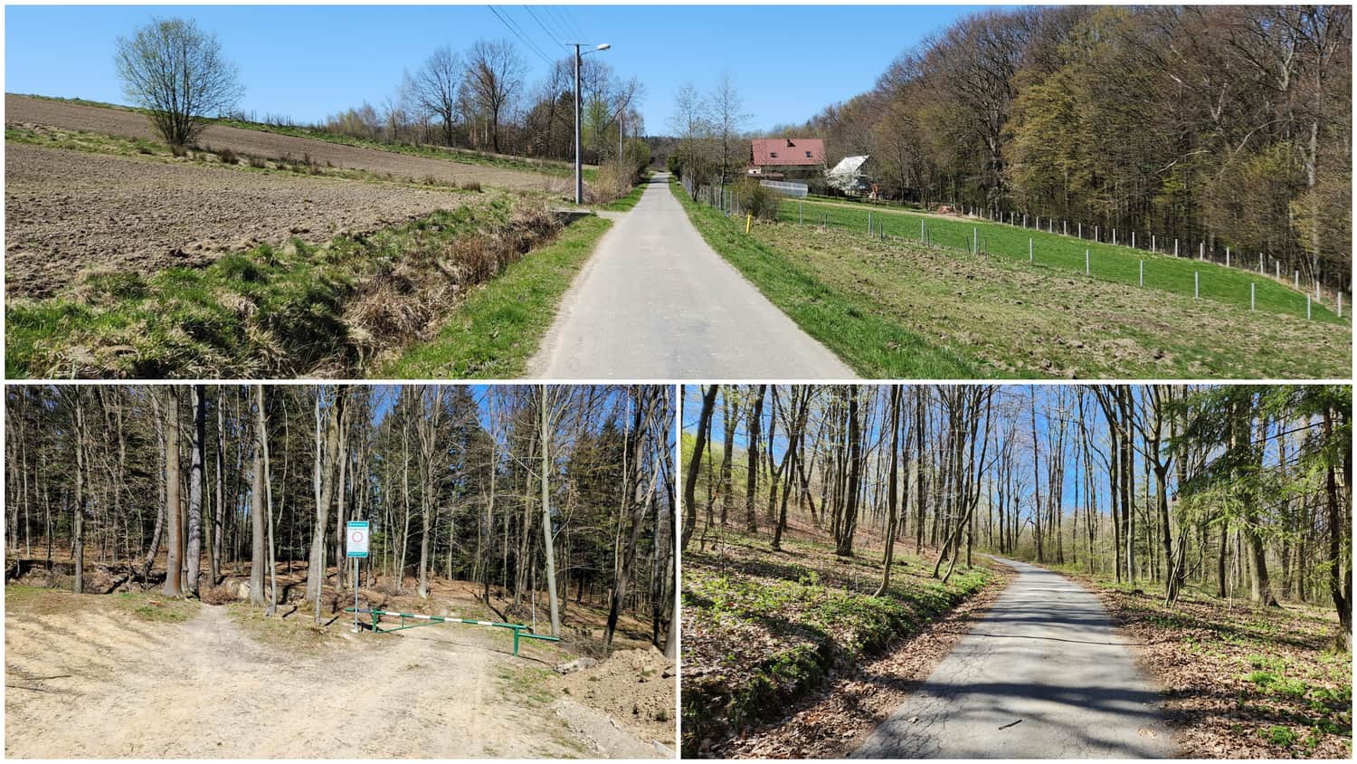
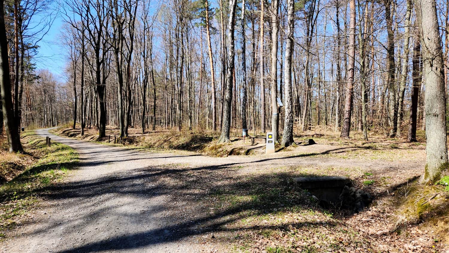
Right after the church, the trail turns onto a narrow and less-traveled street. After a few dozen meters, the asphalt road sharply turns left, but according to maps, the trail continues straight on a dirt road. We recommend following the asphalt road because this part of the trail was very muddy and poorly marked. After reaching a barrier, the road and trail merge, and you can follow the blue markers.
Trail to the Tower
From the barrier to the red trail, the road is wide and even, as it is also part of the EnoVelo bike trail. This section of the trail leads picturesquely through the forest.
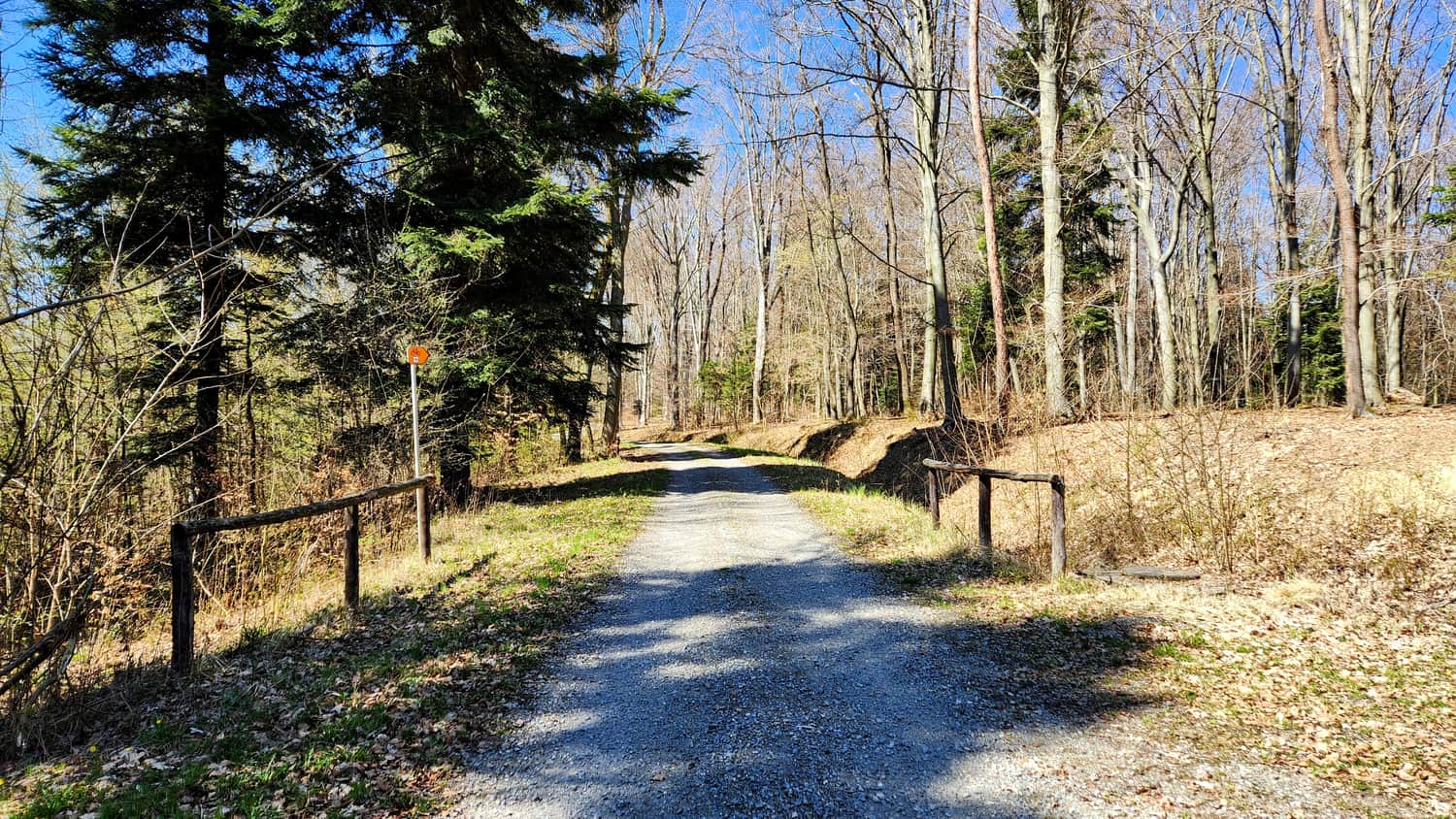
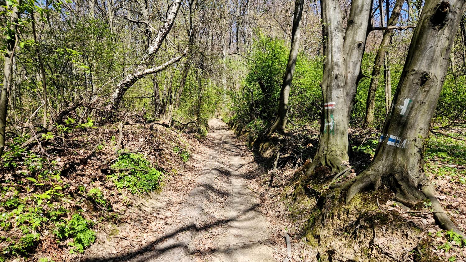
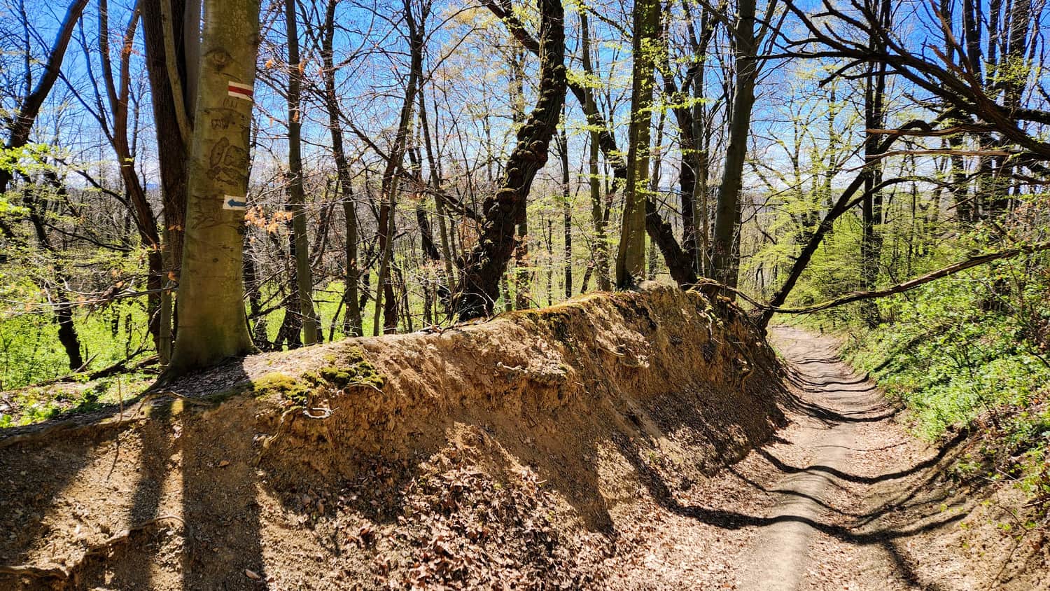
Soon, we reach the red trail and now follow the red-blue markers. The forest path becomes more rugged, and in some parts, it leads through a small ravine.
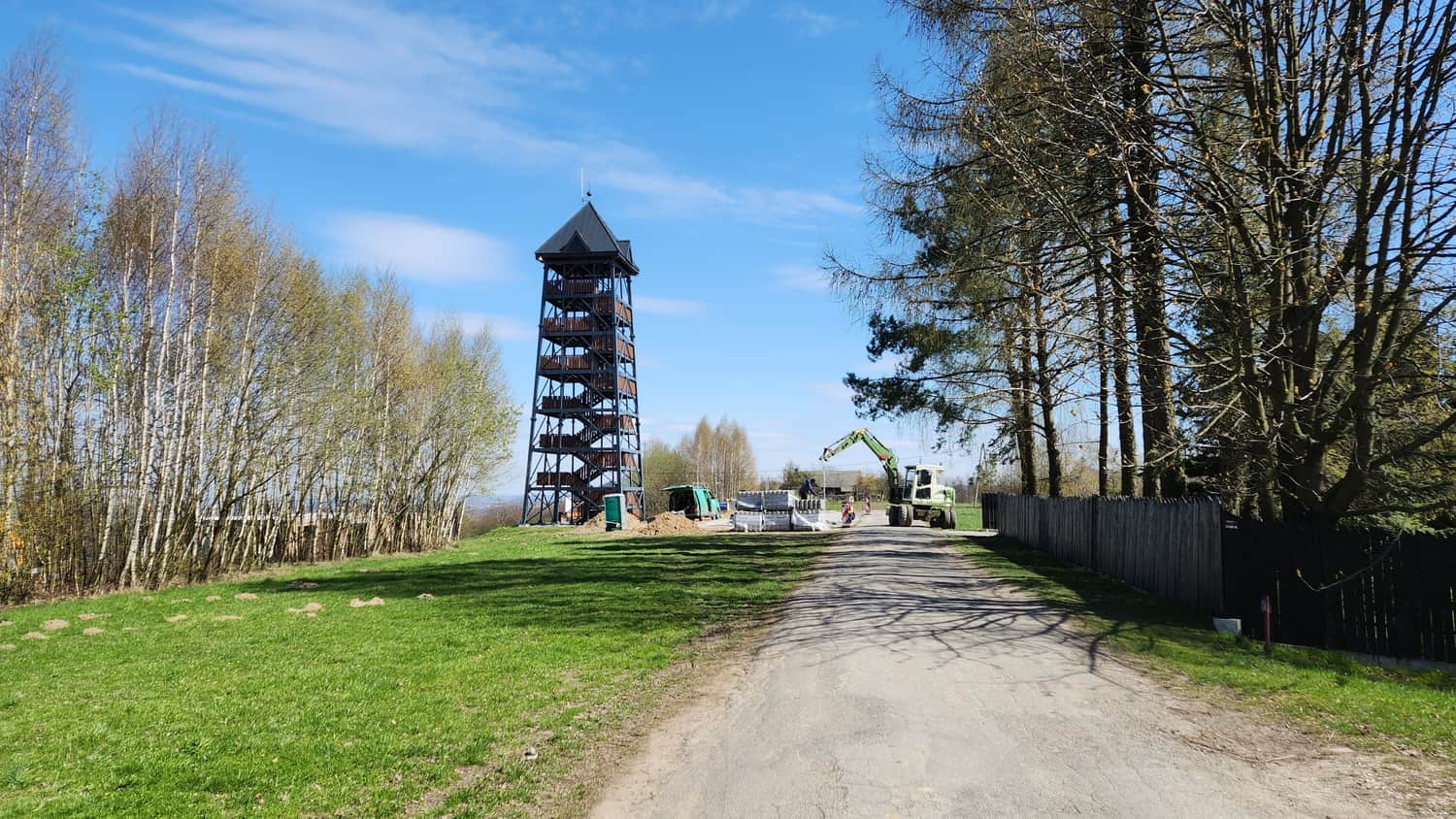
Tower on Bocheniec
On Bocheniec Hill (394 meters above sea level), whose name is said to resemble the shape of a loaf of bread, stands an impressive 25-meter viewing tower since 2023. There is a parking area, benches, and a covered shelter under the tower. More details and photos can be found in the article below:
Bocheniec Observation Tower near Brzesko - Most Interesting Trails
The Bocheniec Observation Tower (394 meters above sea level) is located on the Okocim Ridge, one of the northernmost parts of the Carpathian Foothills. ...

Publish Date:
More in the Region Małopolskie (Małopolskie)