From Łomnica Zdrój to Hala Łabowska
Town: Łomnica Zdrój Nearby: Nowy Sączbeach_access Route in the shade
wb_sunny Route in the sun
restaurant Restaurant or bar nearby
directions_car Access by car
directions_bus Can be reached by bus
train Access by train possible
wc Toilet along the route
The scenic trail to Hala Łabowska from Łomnica Zdrój leads mostly through meadows between the valleys of Łomniczanka and Wierchomlanka. The trail is quite long but peaceful, with no steep ascents. Through the forest on the slopes of Parchowatka and Wagruszlańskie Góry, we reach the scenic Hala Łabowska with a cozy PTTK shelter.
Beginning of the yellow trail Łomnica - Hala Łabowska
The yellow trail starts in the Poprad Valley, near the railway station, and initially follows the main road. If we can drive by car, it is worth shortening this section and parking at the "Pod Kicarzem" spring (this way we will shorten the route by 2 km).
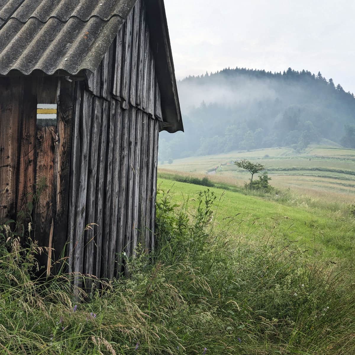
We can also reach the trail by walking along the roads near the school, or even further: near the cemetery in Łomnica-Zdrój. From the main road, we climb up the hills on the left bank of the stream and on their ridge, we encounter yellow signs.
Yellow trail - a walk through meadows
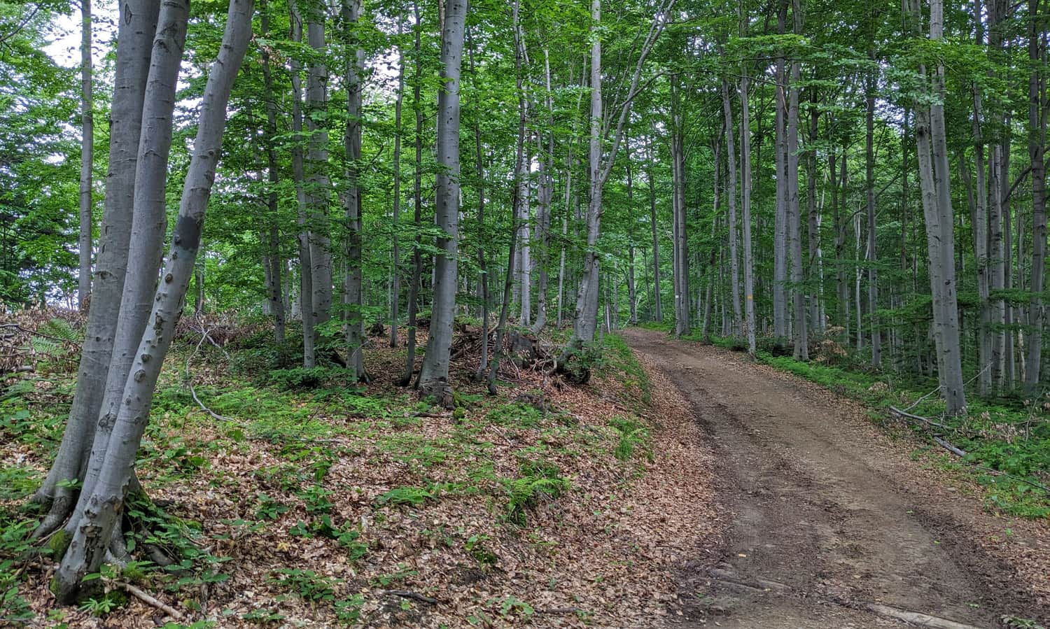
After passing through the buildings (asphalt road), we reach the ridge separating Łomnica (Łomniczanka Valley) from Wierchomla (Wierchomlanka Valley). Following the scenic field road for about 1 hour, we reach the edge of the forest.

Yellow trail Parchowatka - Warguszlańskie Góry
Before Parchowatka (avoiding its peak), we enter the forest. The forest road slowly ascends to the main ridge of the Jaworzyna Krynicka Range. Along the way, there are occasional small scenic viewpoints.
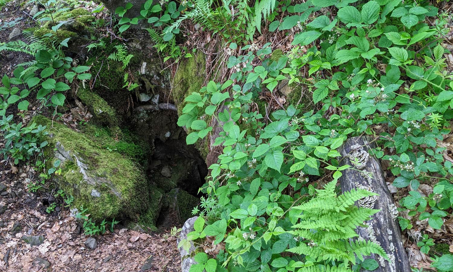
We can also visit a small cave called "Studnia Grzybiarzy", located right next to the trail (5 minutes from the main road). Separate yellow signs lead to it. Caution! Entering inside can be dangerous!
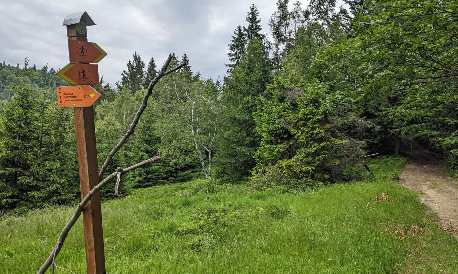
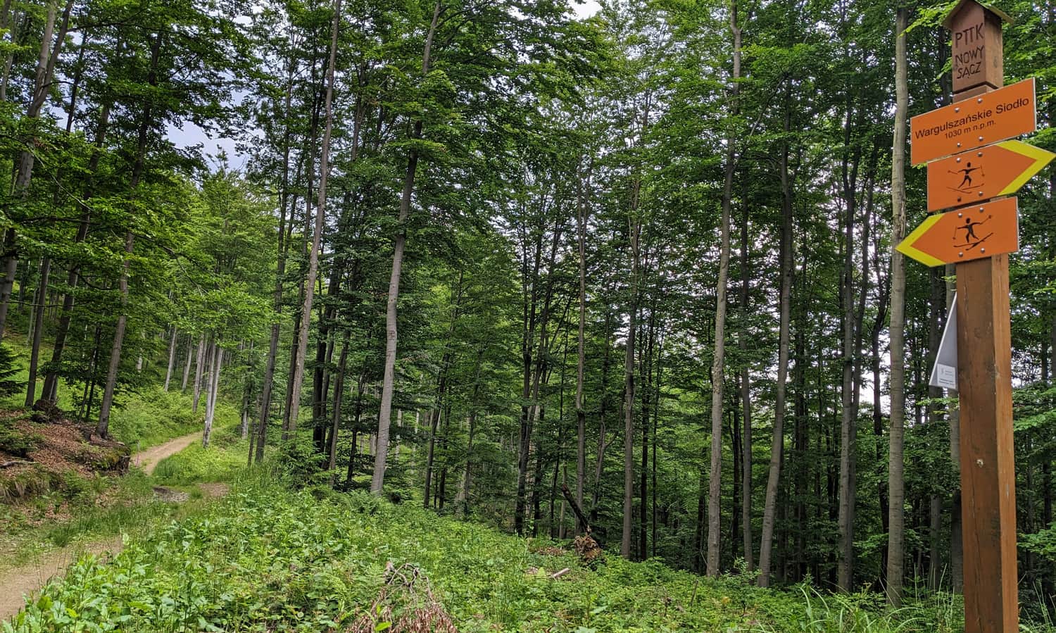
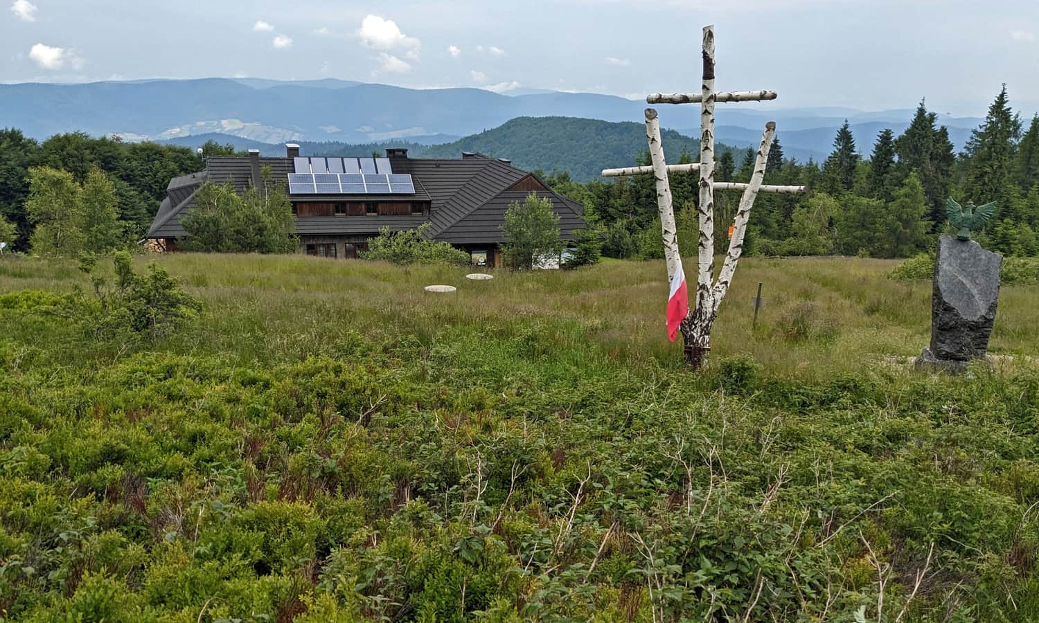
When we reach the intersection of trails near Lichniowe Góry and then Warguszlańskie Góry, it means that our destination, the PTTK shelter on Hala Łabowska, is quite close!
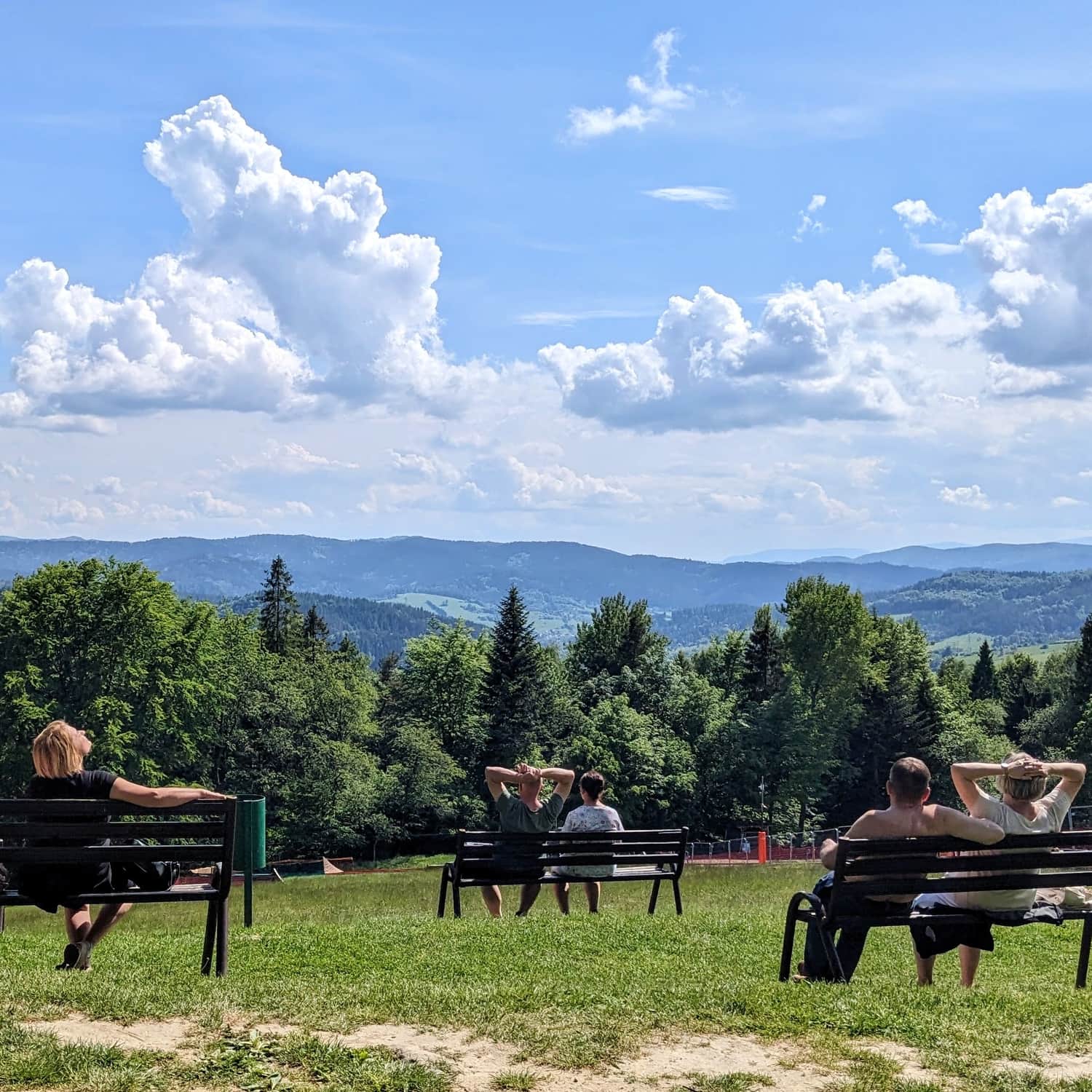
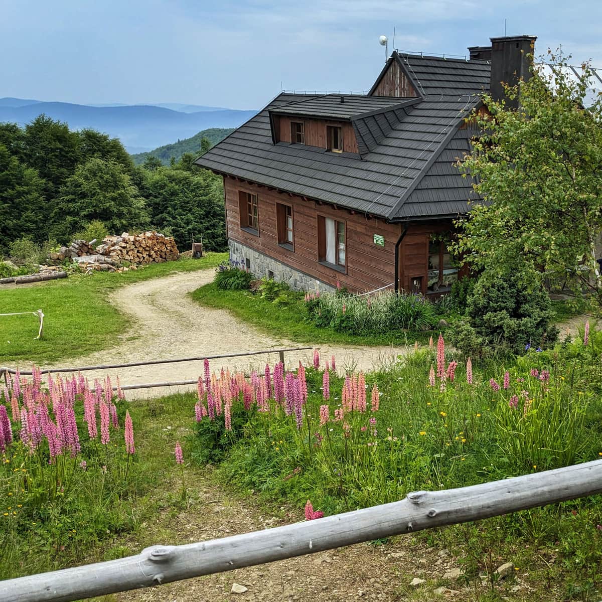
Hala Łabowska and PTTK Shelter
After about 3 hours from the start of the trail (or 3.5 hours if we start from the railway station), we reach the destination of our hike: the scenic Hala Łabowska and the PTTK shelter offering simple home-cooked meals, sweets, drinks, and souvenirs. More about this place:
Hala Łabowska - Shelter, Trails, Views, and Fun Facts
The PTTK Shelter on Hala Łabowska is a beautiful place in the middle of the Jaworzyna Krynicka range. Hala Łabowska is a beautiful scenic meadow, and the shelter serves as a resting place on a mountain trail and a starting point for many nearby hiking trails. ...
Back to Łomnica Zdrój
If we need to return to the trailhead, we go back the same way (the descent to the parking lot takes about 2 hours) or, for a change, take the blue trail down the Łomniczanka Valley (also about 2 hours).
If we can descend to another railway station, it is a good idea to hike along the ridge through Hala Pisaná to Przełęcz Bukowina and then descend using another, also yellow, trail through Jarzębaki to Piwniczna Zdrój. The journey from the shelter on Hala Łabowska to the railway station in Piwniczna-Zdrój should take us about 3.5 hours.