Ferdel - Viewing Tower and Beech Path from Wapienne
Nearby: Gorlice| Distance | 5.9km |
|---|---|
| Time | 2h 13min |
| Ascents | 301m |
| Descents | 301m |
beach_access Route in the shade
directions_car Access by car
directions_bus Can be reached by bus
The easiest way to the viewing tower at the top of Ferdel in the Magura Wątkowska Range starts from Wapienne - a charming, tiny spa town near Gorlice. An additional attraction of the loop trails is the creative educational path "Beech Path", symbolized by a wide-open eye.
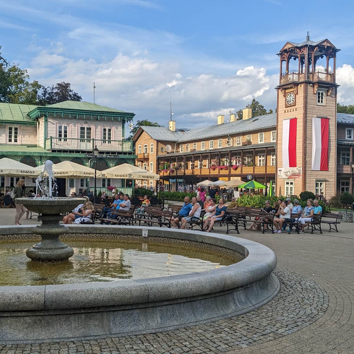
Wapienne - the Smallest Spa in Poland
Did you know that the tiny town we start our trail from is the smallest spa in Poland? It also has an interesting history: supposedly, participants of the Napoleonic Campaign were treated here! That's why the promenade in Wapienne is proudly named "Napoleonic Promenade".
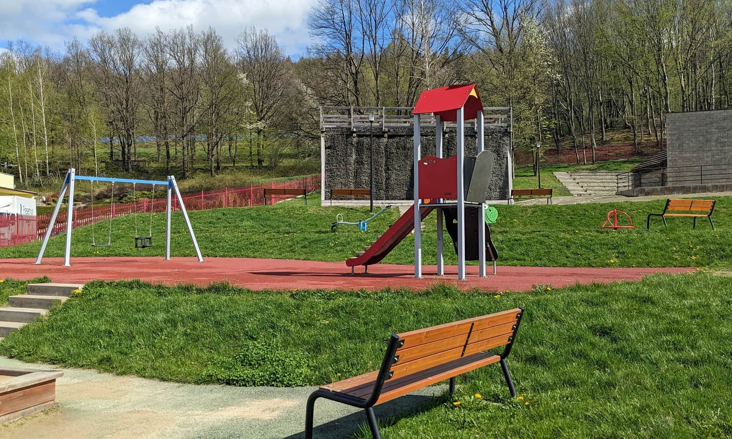
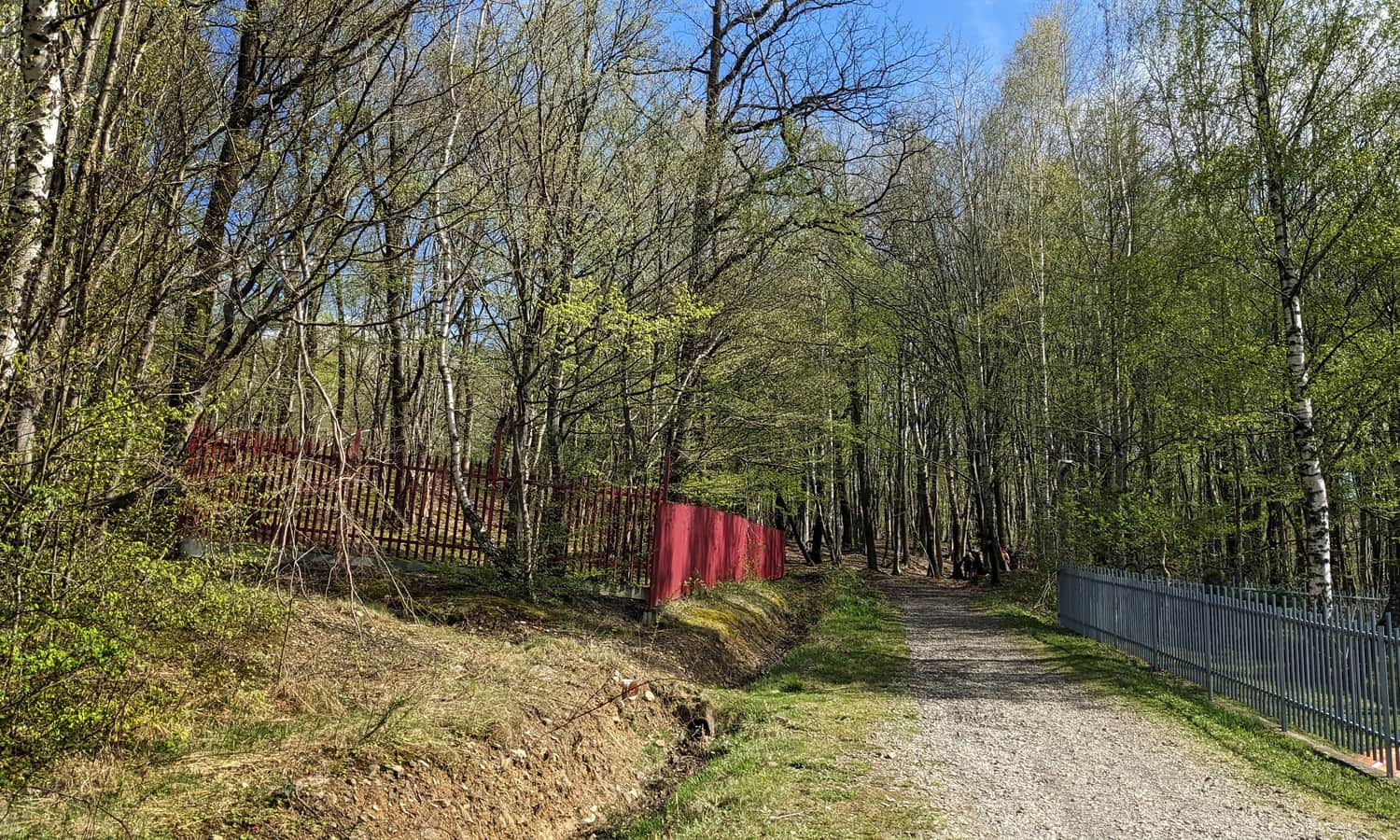
Today in Wapienne, you'll find a large free parking lot, a graduation tower, and a playground - and of course, two trails to Ferdel to choose from!
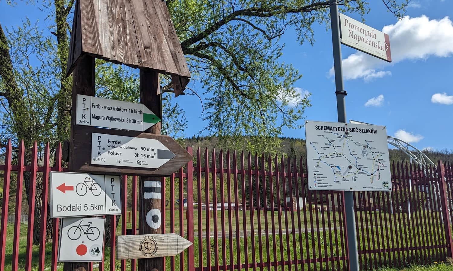
Start of the Green and Black Trails to Ferdel in Wapienne
Both the green and black trails start at the main street in Wapienne. If you don't like going up and down the same trail, you can combine them into a loop. However, note that while the green trail goes through the forest, the black trail descends directly onto an asphalt road and returns to the junction with the green signs.
Green Trail from Wapienne to Ferdel
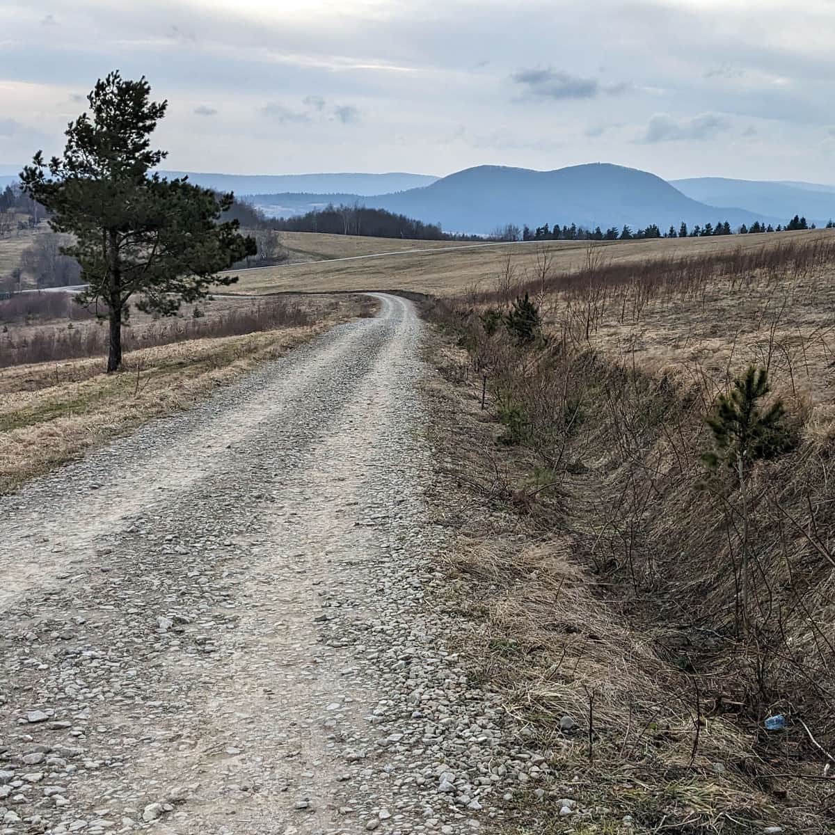
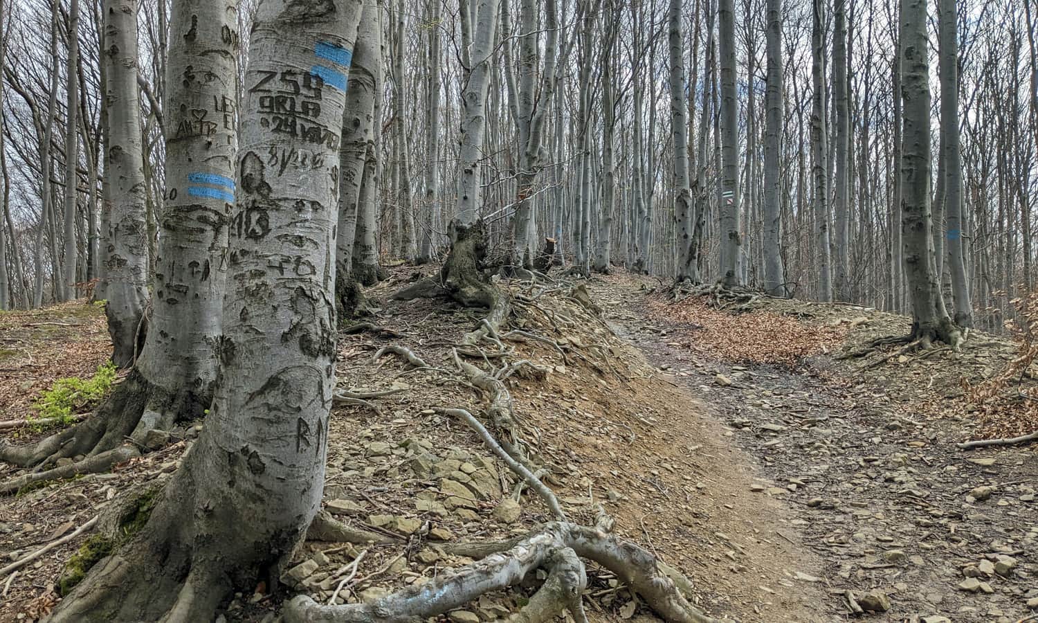
The green trail takes us to the viewing tower on Ferdel through a pleasant forest path. There will be some uphill walking, as we need to cover about 250 meters of elevation. Most of this is at the start of the trail, and after reaching Mały Feredel, the border of Magura National Park, we'll walk along a gently rising ridge.
Ferdel and Magura National Park: Dogs and Tickets
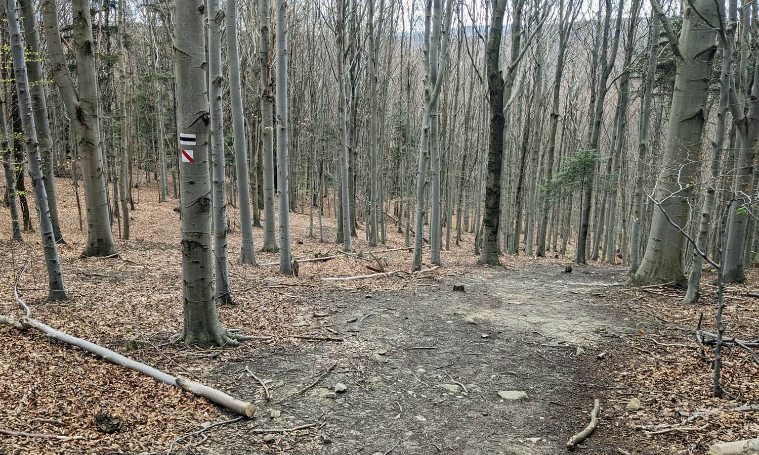
The green trail between Mały Ferdel and "Proper" Ferdel runs along the border of Magura National Park. Note that dogs are not allowed in the park, and entry tickets are required. If you want to avoid this, we recommend the black trail (or an unmarked path running parallel to the ridge) - this way, you stay outside the national park boundaries.
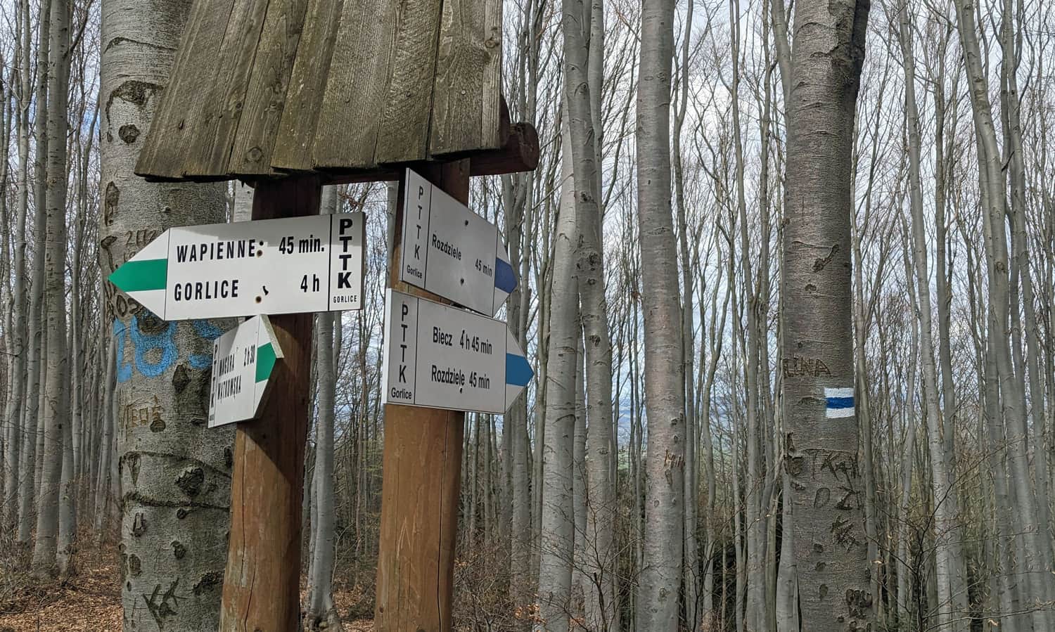
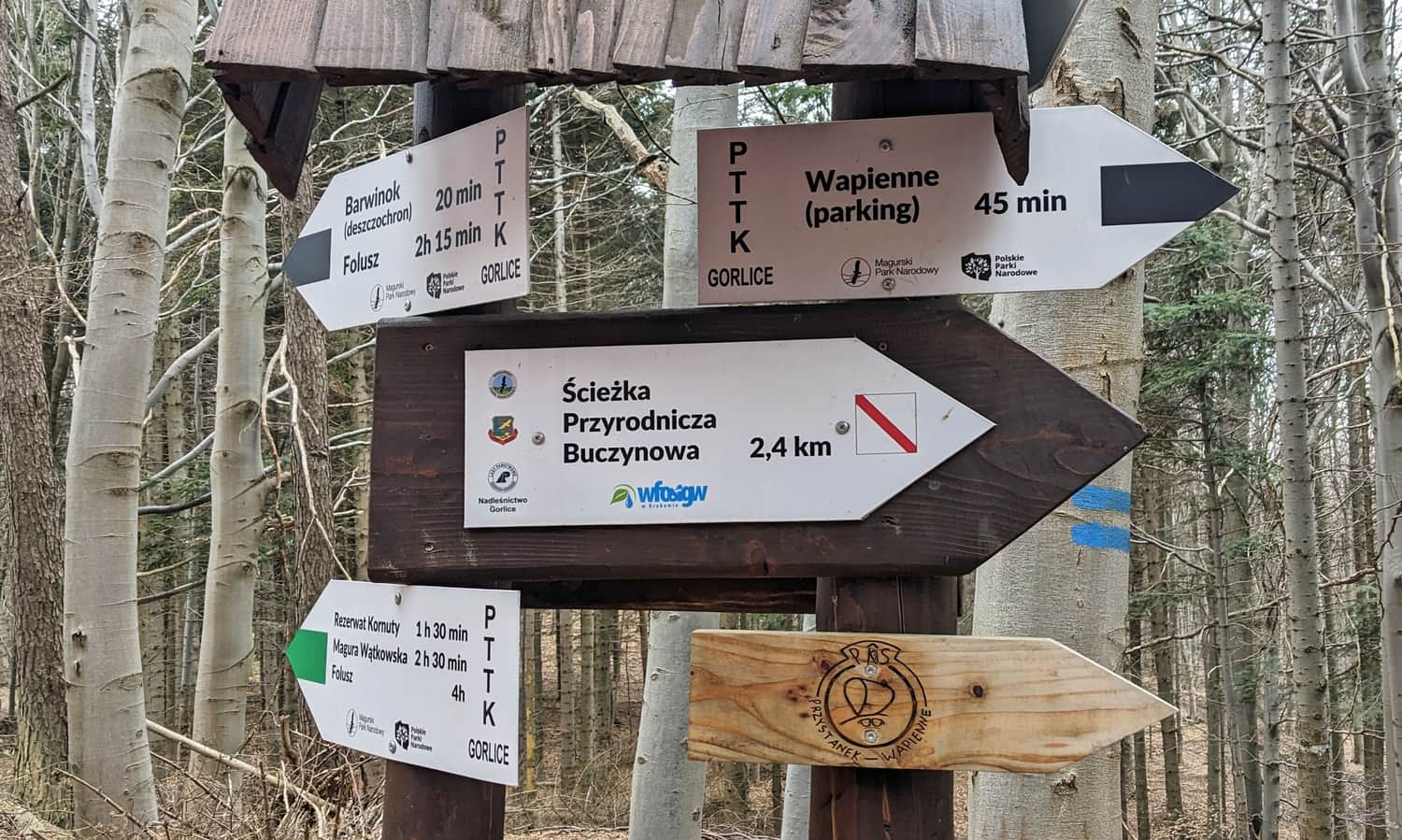
PS. Did you know that the green trail from Wapienne to Ferdel is actually part of a longer route connecting Gorlice with the Polish-Slovak border? If we continued east from the top of Ferdel, we would reach the Kornuty Reserve (which we highly recommend! It's just under 5 km from the tower on Ferdel).
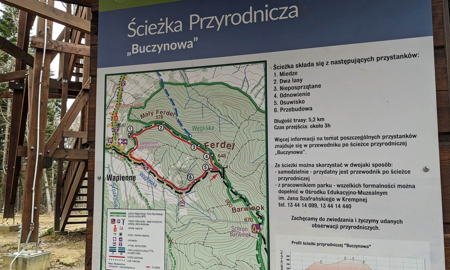
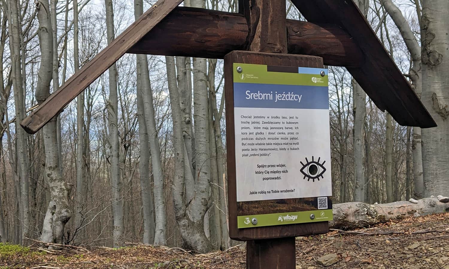
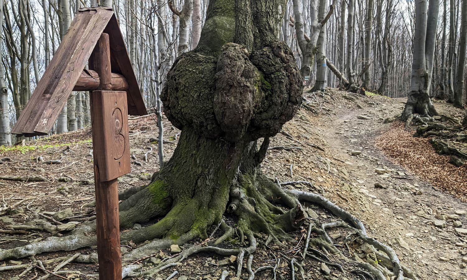
Beech Path - an Interesting Loop from Wapienne to Ferdel
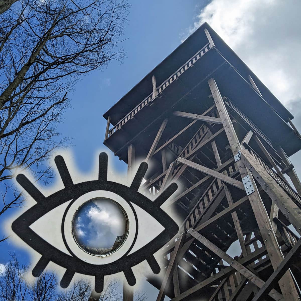
An additional attraction on both the green and black trails to Ferdel is several stops on the "Beech Path", a creative nature trail marked by Magura National Park. Each spot on the path is marked with a wide-open eye, encouraging you to take a closer look at the beauty of the beech forest.
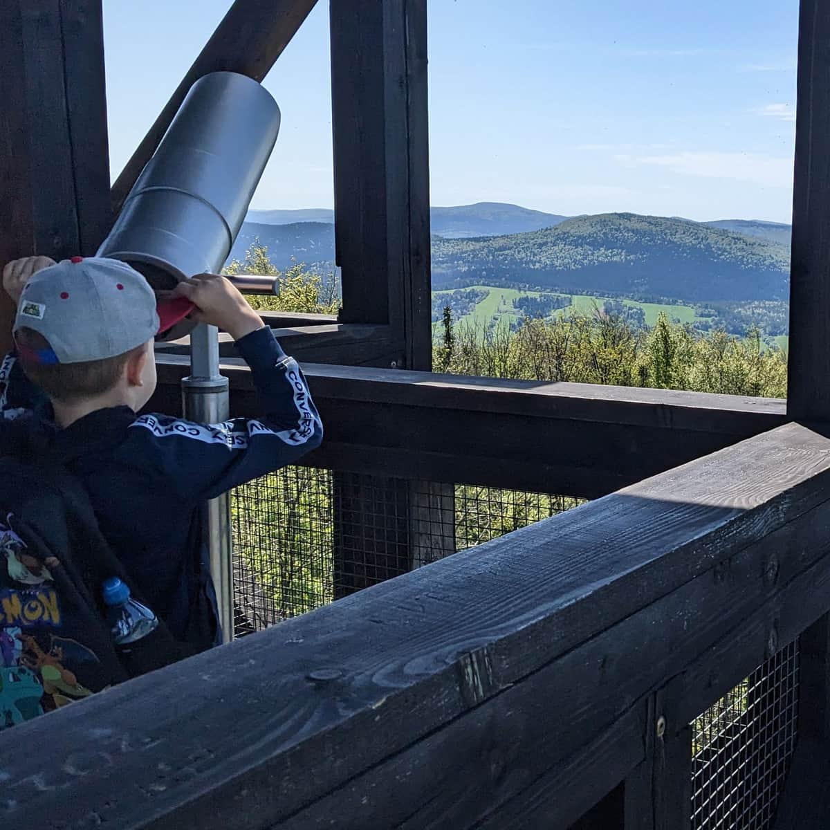
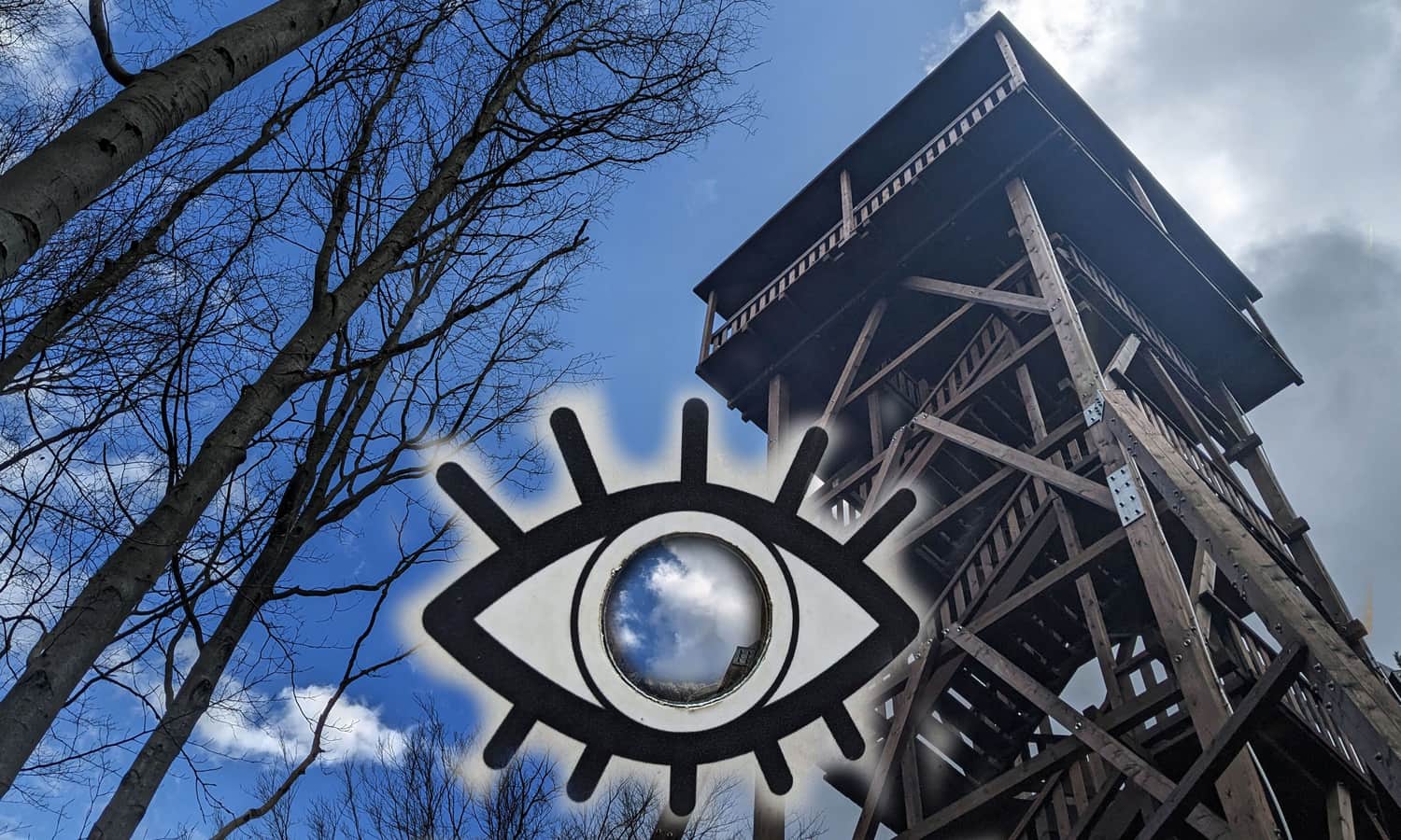
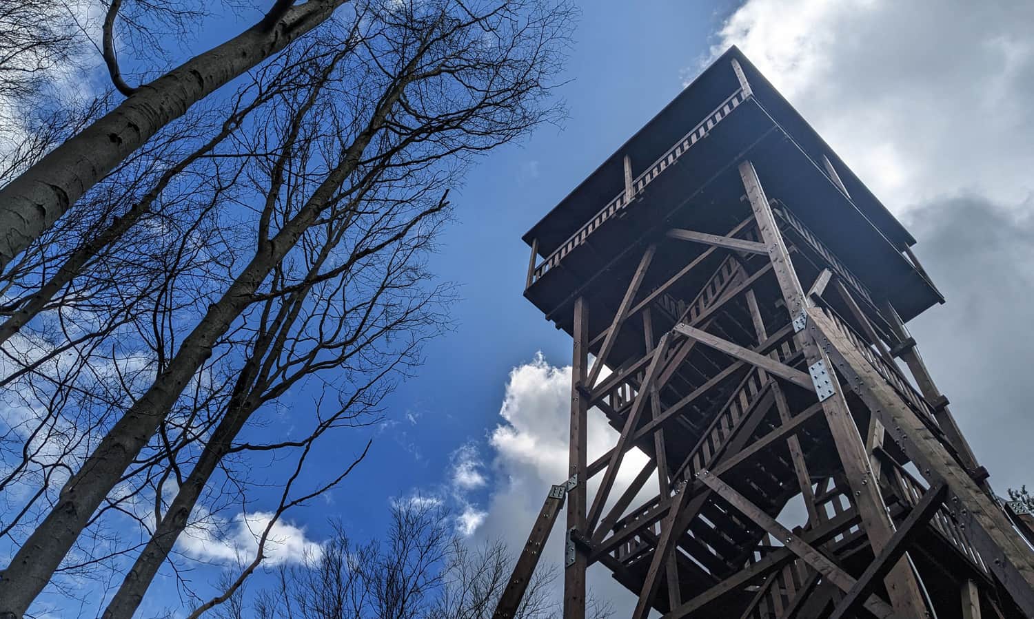
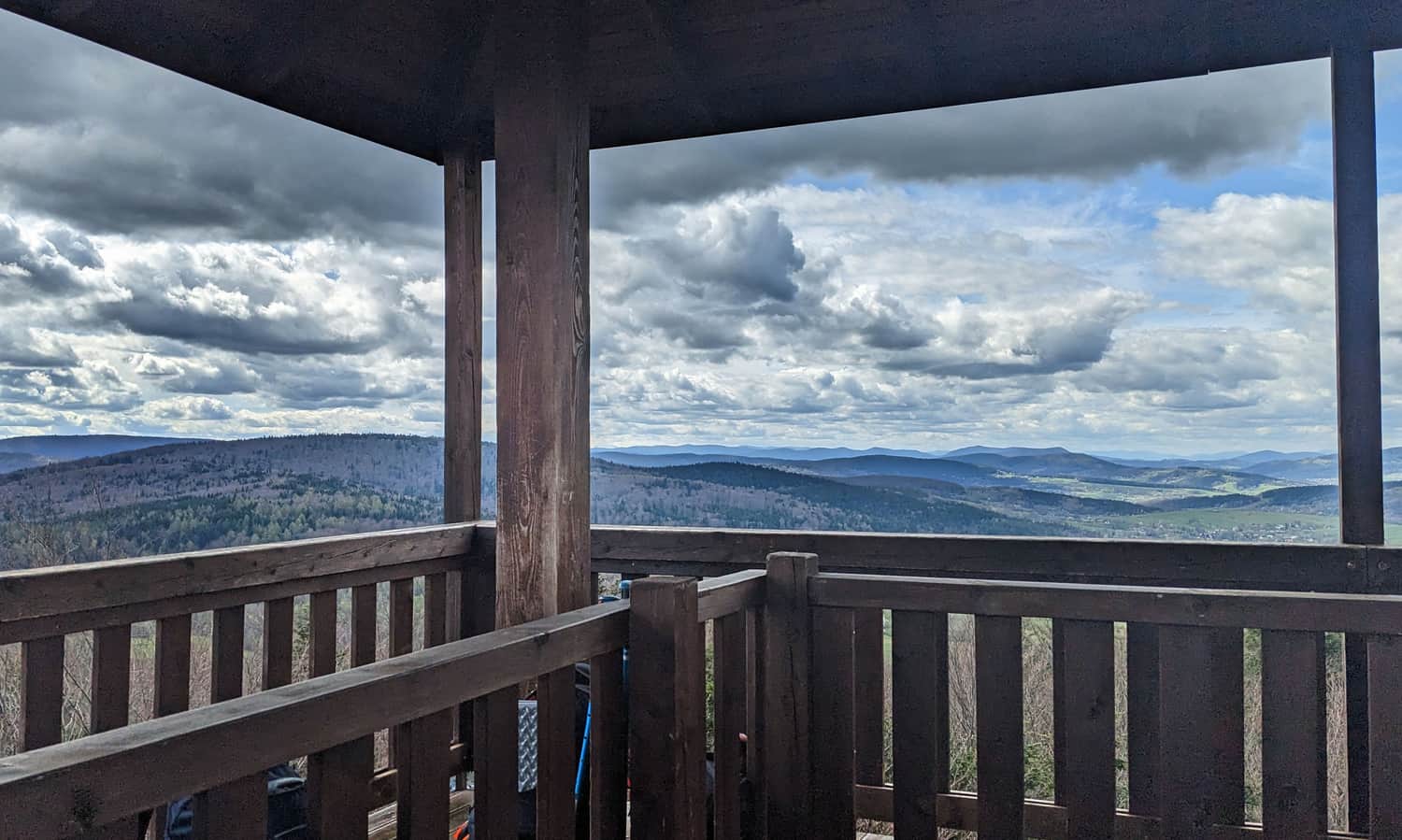
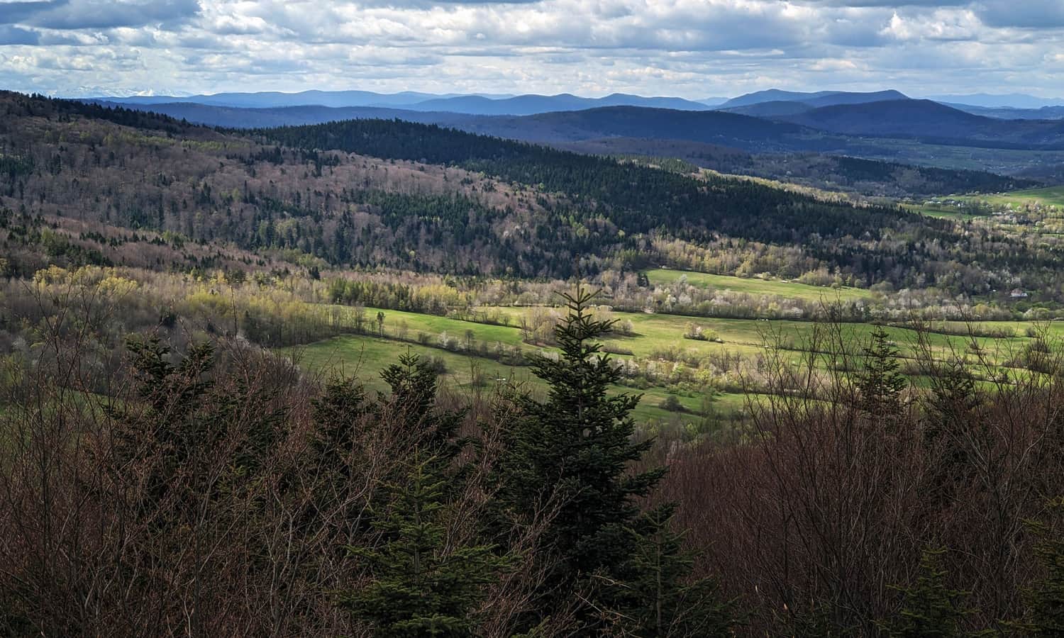
Viewing Tower on Ferdel
The wooden viewing tower is located just below the top of Ferdel, on the border of Magura National Park. From the viewing platform at its top, you can see a wide panorama: both the almost flat northern foothills and the wavy green ridges of the Low Beskids. On a clear day, you can spot the Tatra Mountains.
Other Trails to Ferdel
You can also reach Ferdel from Folusz, for example, by following the green trail along the entire ridge of Magura Wąkowska (14.5 km one way), or using shorter routes, like the black trail Folusz - Ferdel which is just 7 km, or the route from Folusz via the yellow trail to Kornuty, then green: 10.5 km. You can also reach Ferdel from the village of Rozdziele - blue trail to green (just under 4 km, 300 m elevation difference) and from Bartne (yellow trail to Kornuty and then green (8 km, almost 400 m elevation difference).

More in the Region Beskid Niski (Mountain range of the Low Beskids (Beskid Niski))