Blue Trail to Luboń Wielki from Naprawa
Town: Naprawa Nearby: Rabka-Zdrójbeach_access Route in the shade
restaurant Restaurant or bar nearby
directions_car Access by car
directions_bus Can be reached by bus
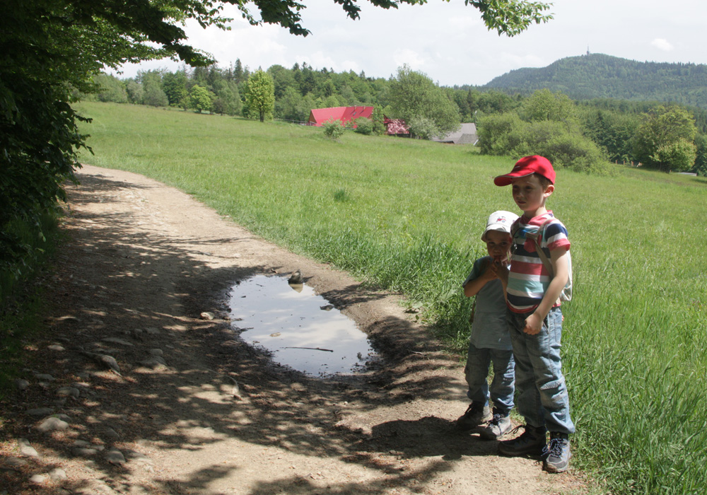
The blue trail to Luboń Wielki from Naprawa is a quite long route, but mostly along the ridge and except for 2 steep ascents, it is practically flat and suitable for a leisurely walk. Moreover, we will be rewarded with a beautiful view of the Tatra Mountains from Polana Surówki! Our hike was enriched by numerous puddles and stories about partisans hiding on the slopes of Luboń and about the shelter itself.
The Start of the Blue Trail to Luboń Wielki from Naprawa
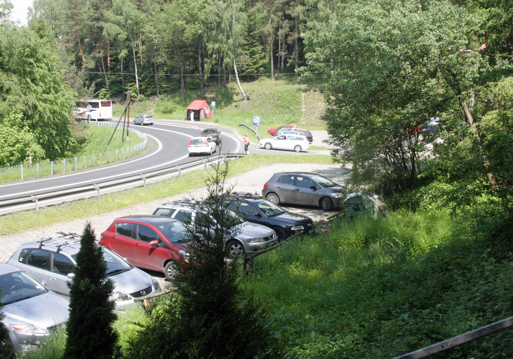
The trail starts at the pass on the so-called "old Zakopane road", near the parking lot by the Panorama restaurant - you can leave your car here, and there are also PKS bus stops (in both directions). Access to the parking lot is only allowed from the Rabka Zdrój side, if coming from Krakow, you need to turn around.
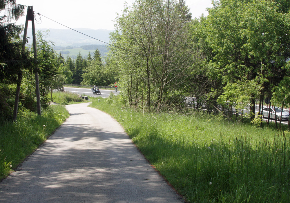
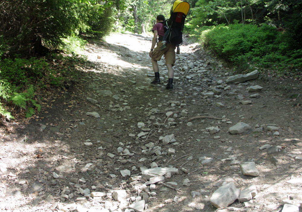
Initially, the trail leads along an asphalt road, then a compacted earth and sand path with a slight incline, partly in the sun and shade.
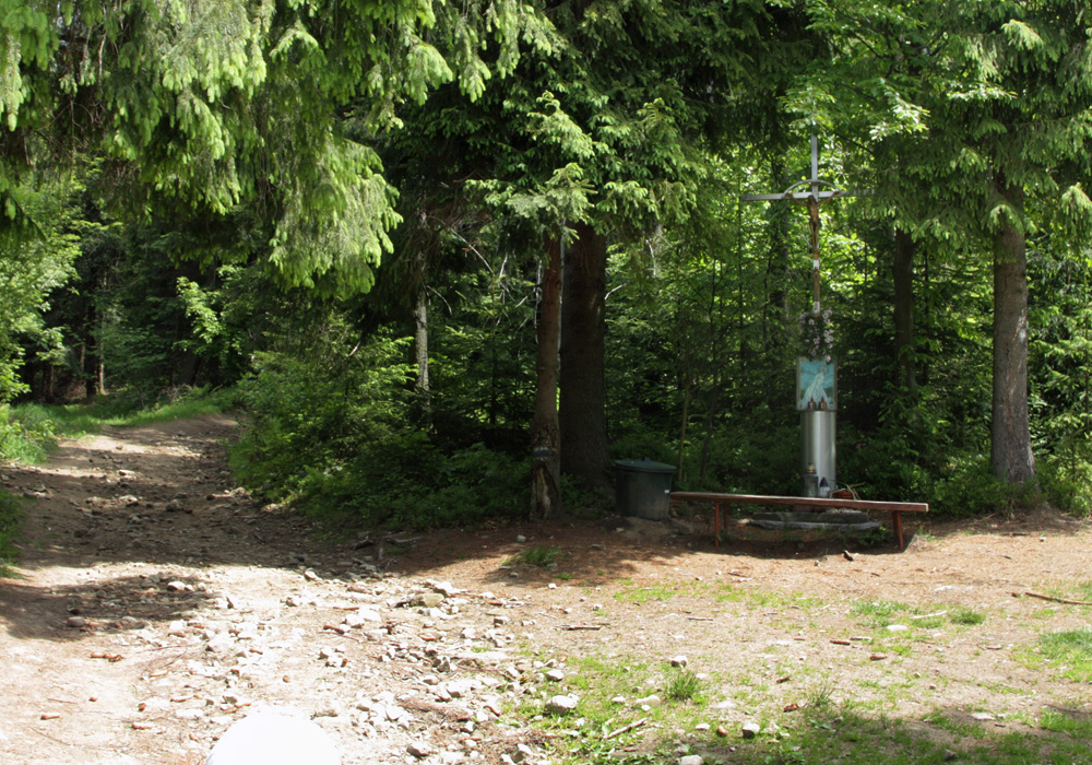
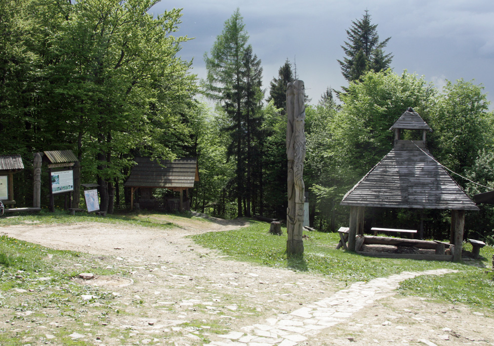
After about 40 minutes, we reach the edge of the forest and a small chapel. It's worth taking a rest on the bench here, as we have a fairly steep ascent to the summit of Luboń Mały ahead of us.
The trail to Luboń Mały leads through a forest ravine, quite steep and rocky. At the very top, there is a small meadow and a surveying post. From this point, we walk along the ridge - mostly flat, sometimes slightly downhill or uphill. We pass a mysterious stone with a cross and the engraved date 1772.
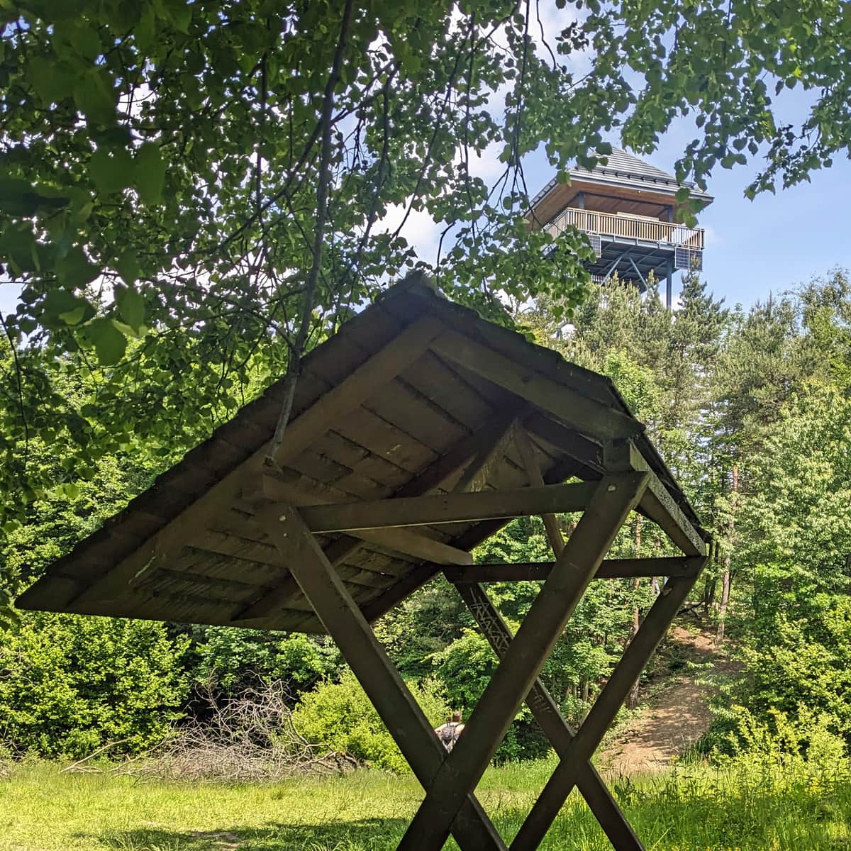
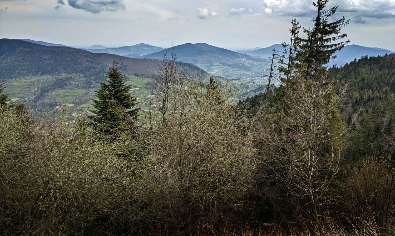
Soon, we reach the expansive Polana Surówki, which offers a breathtaking view to the south - including the Tatra Mountains! From the meadow, we can also see the summit of Luboń Wielki with its characteristic tower.
Just after the meadow, we pass a cross marking the place of a helicopter crash, and continue on a fairly flat path in the semi-shade of the forest.
The ascent to the summit itself is steep and rocky, but not very long.
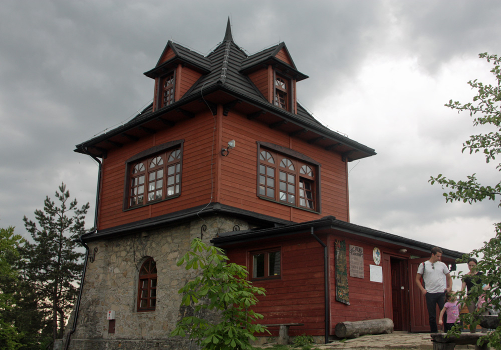
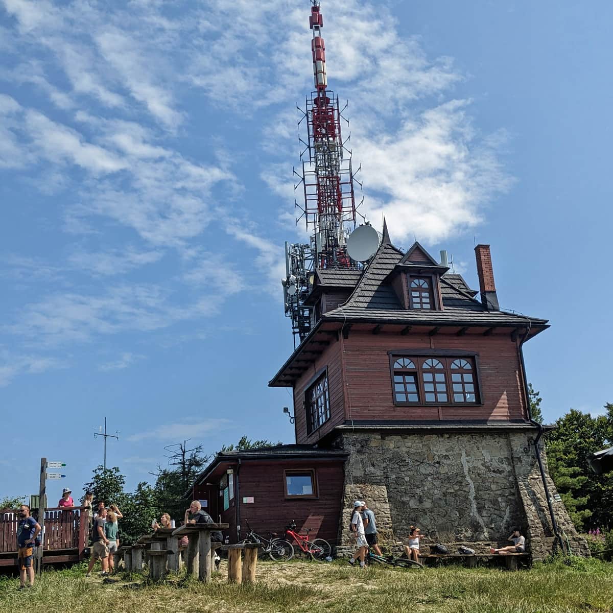
PTTK Shelter on the summit of Luboń Wielki
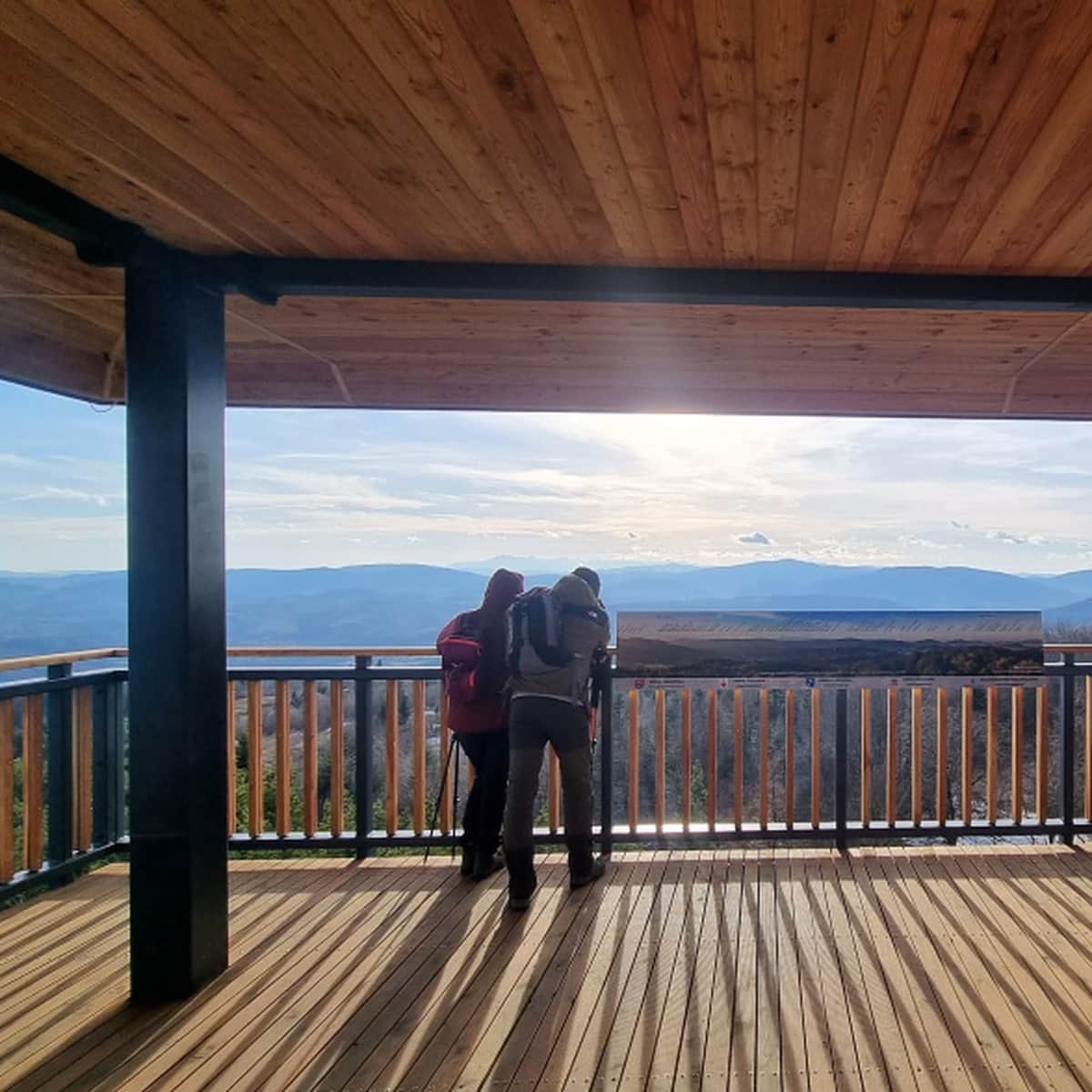
At the summit, there is a shelter (a buffet with hot meals, accommodations, souvenirs), a terrace with a view to the northwest, a meadow with benches and a covered shelter, a chapel of Our Lady of Luboń, a meteorological station, and of course, a large radio-television tower.
From the observation terrace, there is a wide panorama to the north:
Luboń Wielki - shelter, interesting facts, and other trails to the summit
You can find other trails to the summit, as well as interesting facts about Luboń Wielki and the shelter here:
Luboń Wielki - Trails, Hostel, and Curiosities
Luboń Wielki (1022 meters above sea level) is one of the highest and most scenic peaks in the Beskid Wyspowy mountain range. It is home to the only PTTK mountain hostel and the largest rocky debris field in the Beskids. ...