Blue Trail to Luboń from Rabka Zaryte
Nearby: Nowy Targ| Distance | 4.1km |
|---|---|
| Time | 2h 27min |
| Ascents | 576m |
| Descents | 5m |
beach_access Route in the shade
restaurant Restaurant or bar nearby
directions_car Access by car
directions_bus Can be reached by bus
The Blue Trail from Rabka Zaryte to Luboń Wielki is a popular hiking path to the peak of Luboń Wielki (1022 meters above sea level). At the top, there is a cozy, small shelter and a beautiful viewpoint to the north.
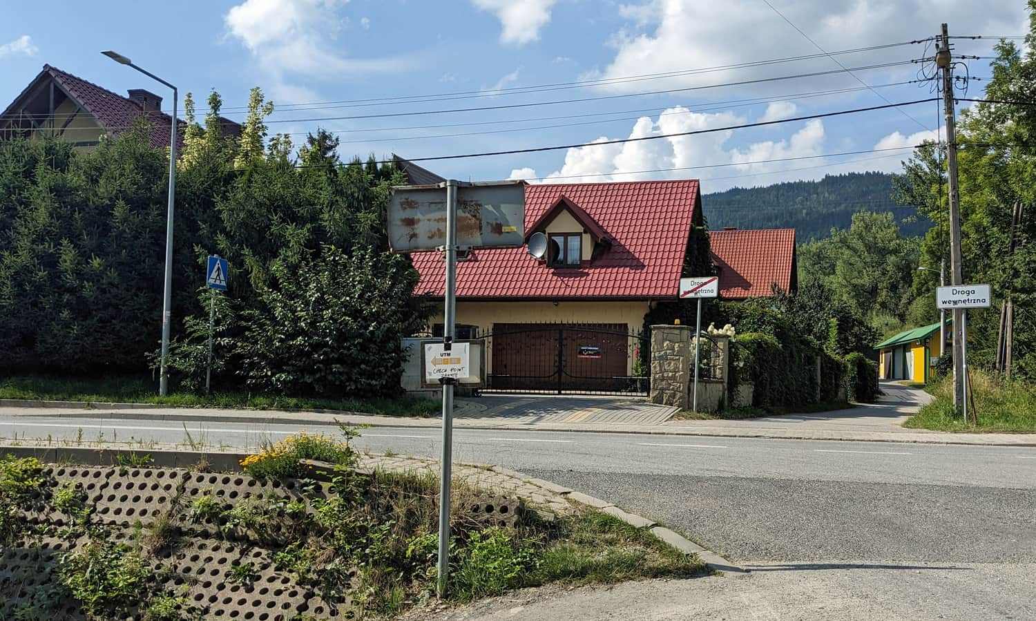
Start of the Blue Trail to Luboń Wielki in Rabka Zaryte
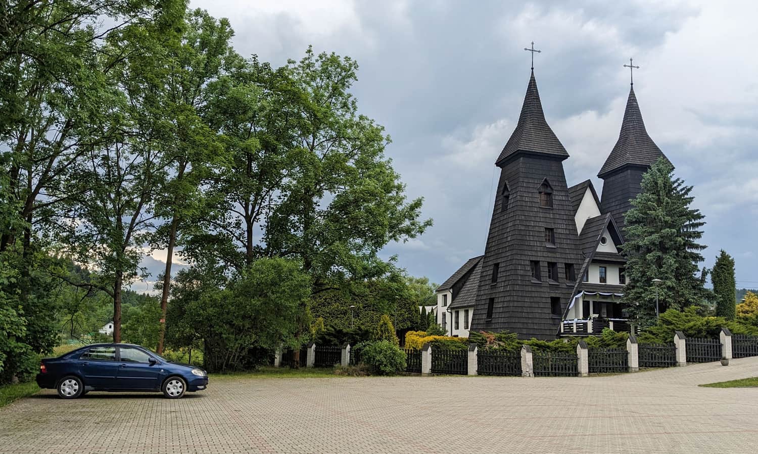
The Blue Trail crosses Rabka Zaryte right by the church (there is a large, free parking lot here). You can also park by the main road (large, but paid parking). In Rabka Zaryte, right at the start of the trail, there is a bus stop (buses from Rabka-Zdrój, Mszana Dolna).
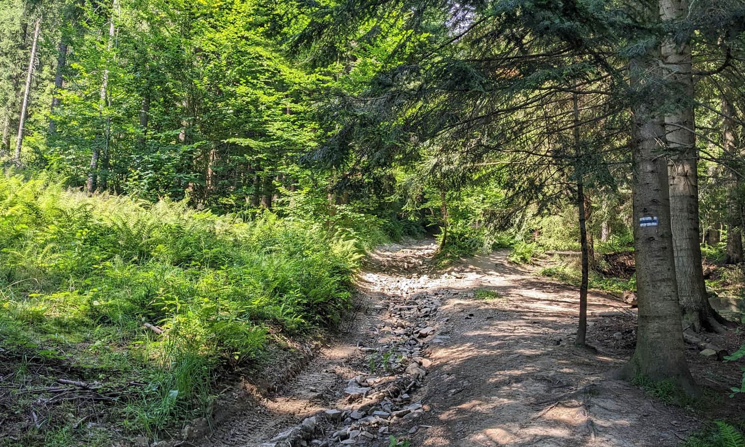
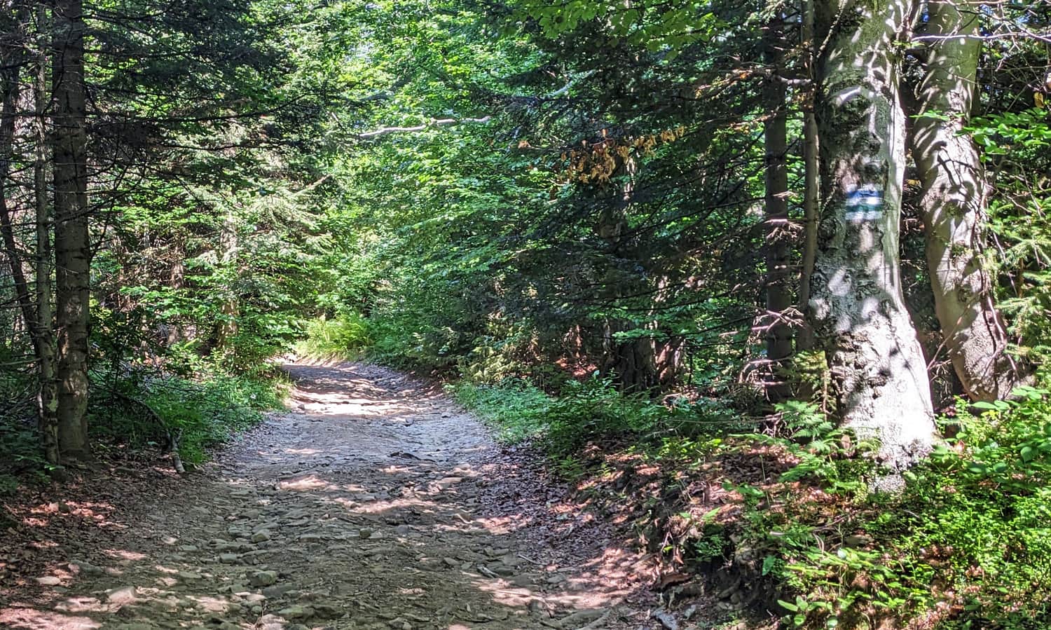
Blue Trail Rabka Zaryte - Luboń Wielki
The first part of the hike is a path between buildings, then along the edge of meadows up the Rolskiego stream valley.
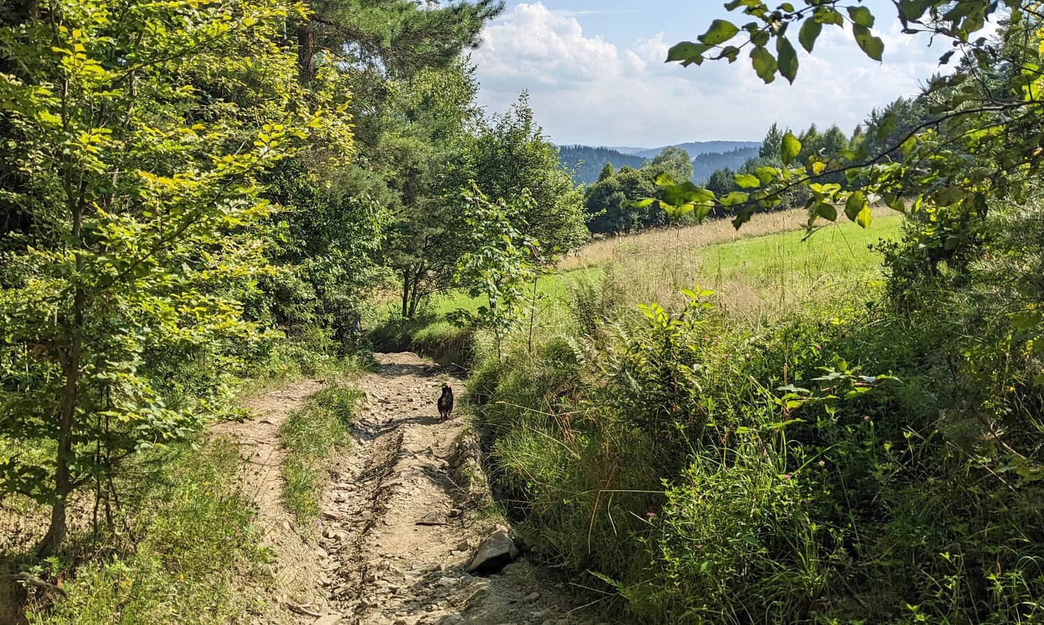
On a hot summer day, this part (about 1 km) will have a lot of sun. Soon, however, we will enter the forest, which will accompany us to the end of our route.
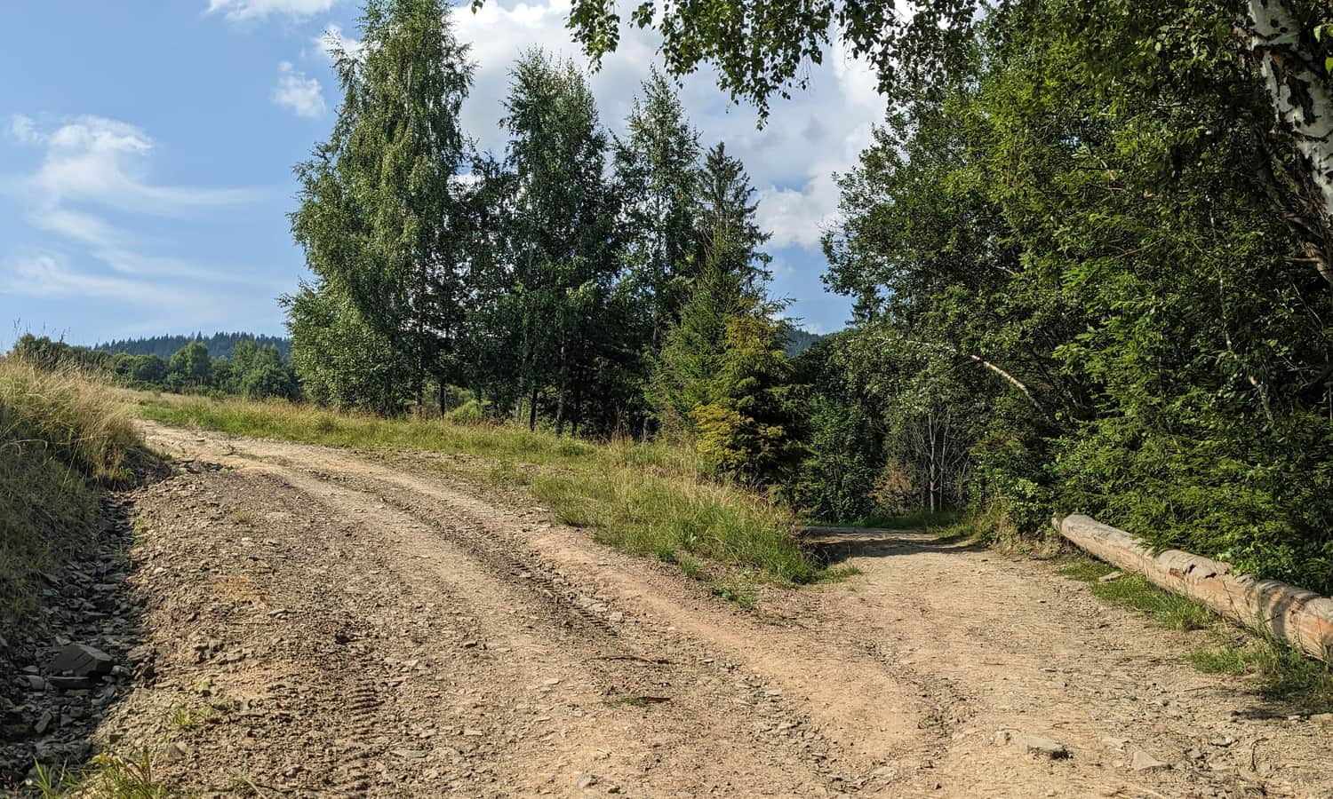
Watch for trail markers! In several places where side paths and forest roads branch off, there are no clear markers! Always pay attention to not lose the signs!
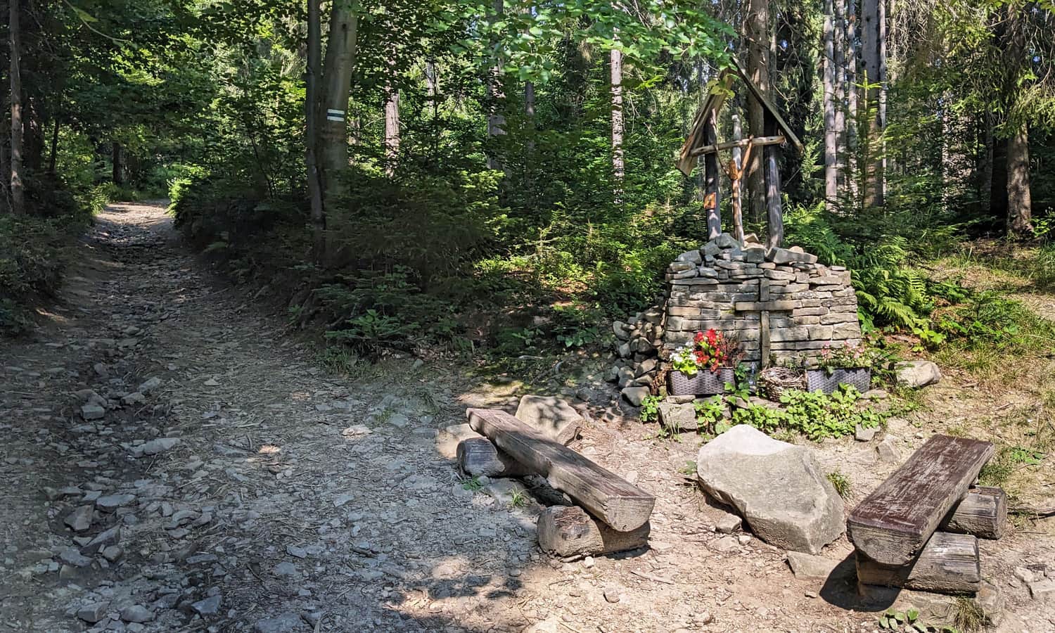
Here is a chapel with benches. It's worth stopping here before continuing the climb. You can see the exact location of this place on the map in the article header.
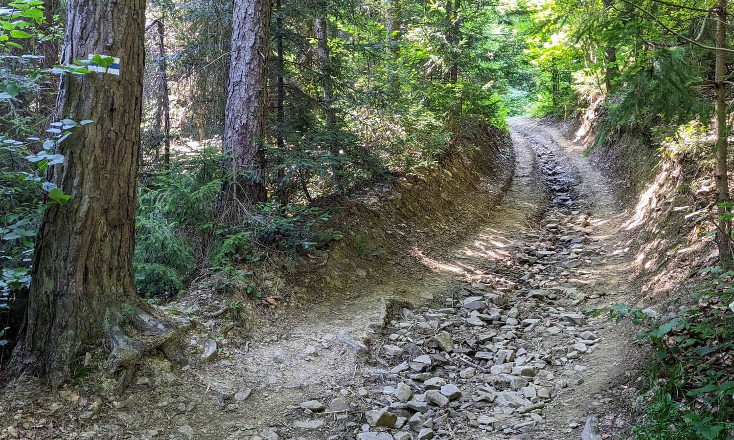
In the forest, it will get steeper, sometimes quite steep, especially on sections leading through narrow, rocky ravines.
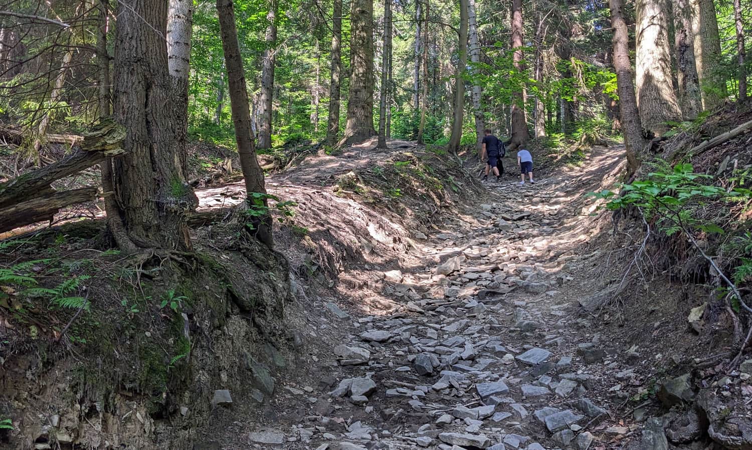
When our blue markers join with the green ones, it means we are very close to the goal! The path will not be as steep, and in a few minutes, we will be at the top of Luboń Wielki!
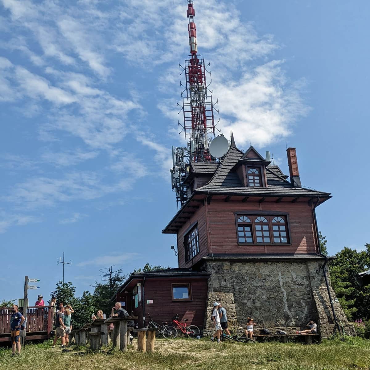
Luboń Wielki - Shelter and Views from the Top
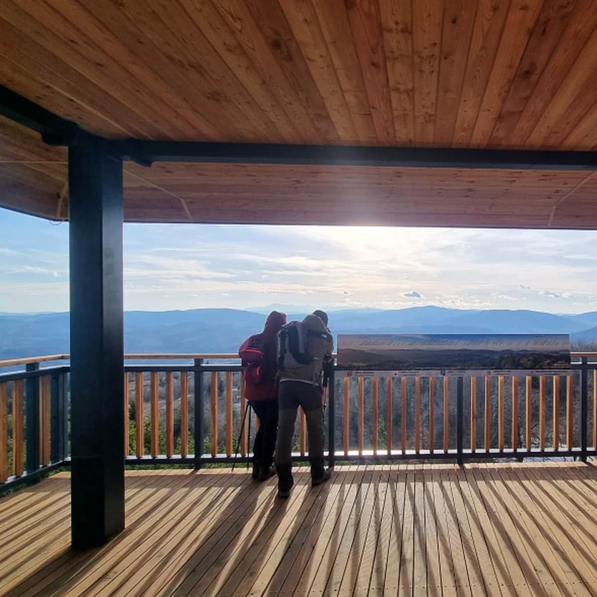
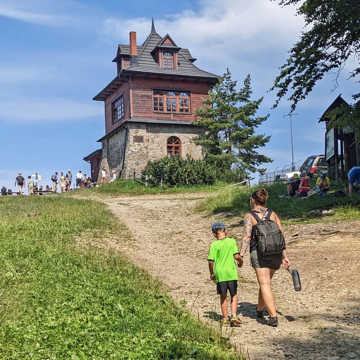
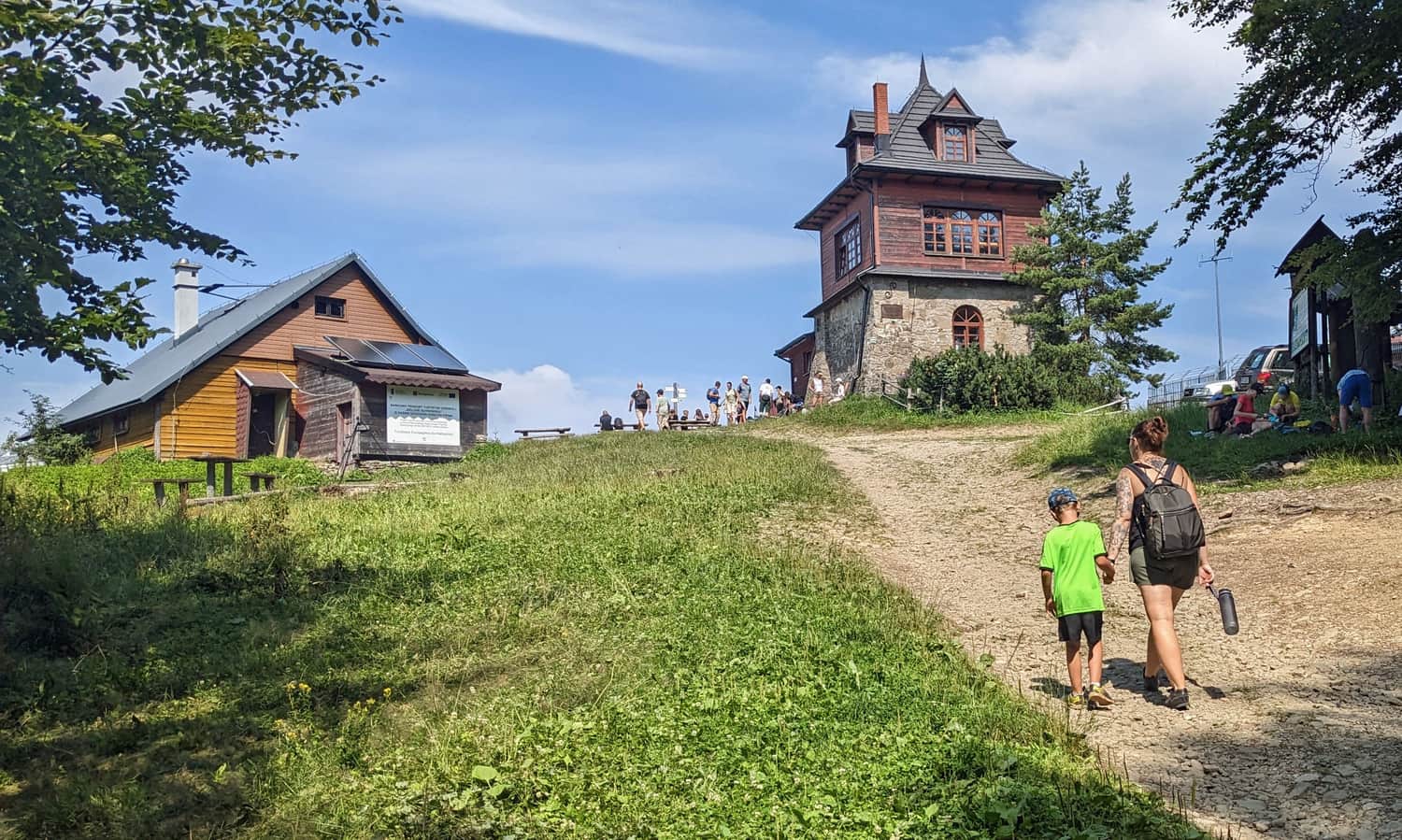
At the top of Luboń Wielki, there is a small, quiet shelter with simple meals, snacks, drinks, and souvenirs. There is also a viewing platform.

What else is worth knowing about Luboń Wielki, the views, other trails to the top, and the history of the shelter?
Luboń Wielki - Trails, Hostel, and Curiosities
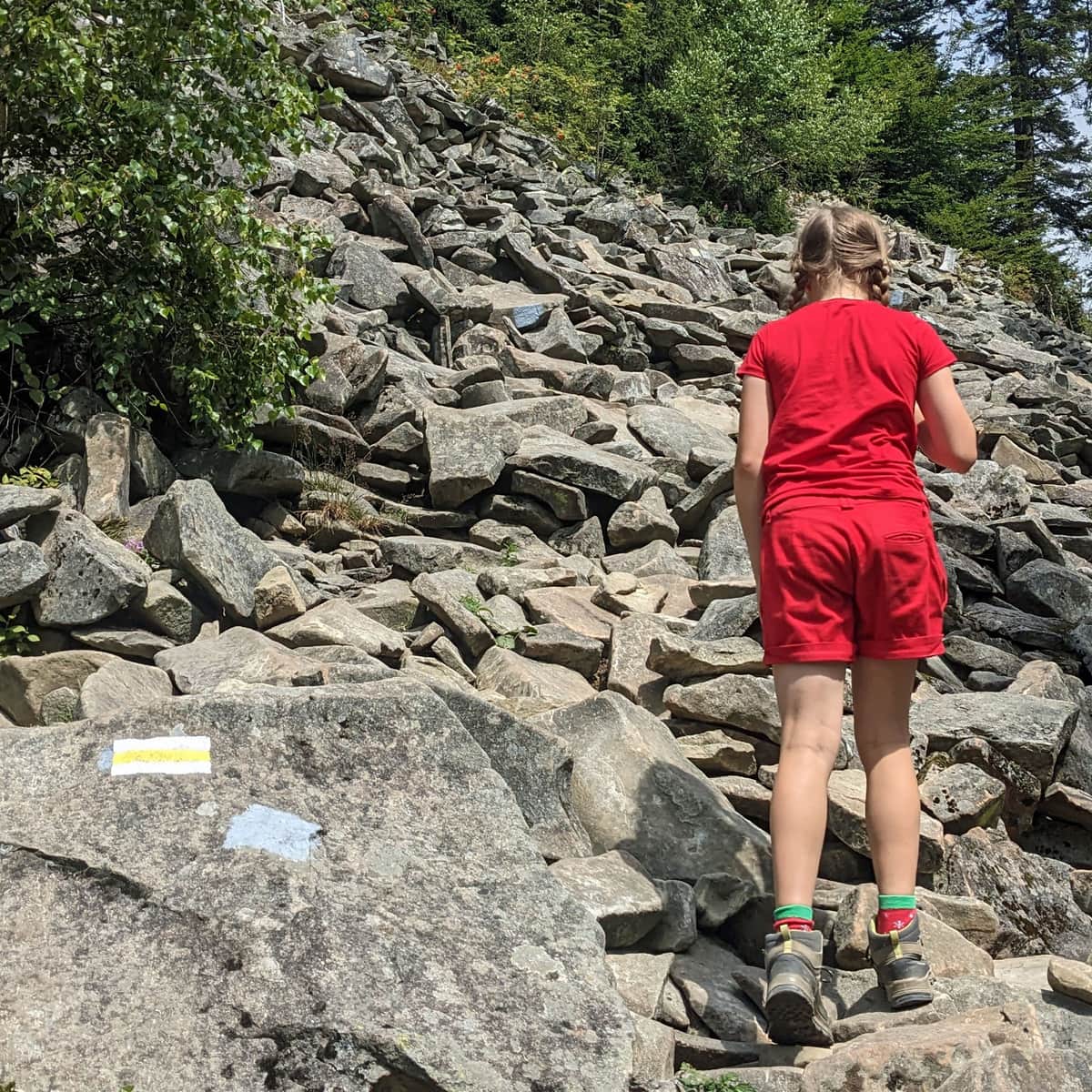
Luboń Wielki (1022 meters above sea level) is one of the highest and most scenic peaks in the Beskid Wyspowy mountain range. It is home to the only PTTK mountain hostel and the largest rocky debris field in the Beskids. ...
Blue Trail to Luboń from the Center of Rabka-Zdrój?
You can start the Blue Trail not only from Rabka Zaryte but also from the center of Rabka-Zdrój. In this case, you will have an additional 4 km and 100 meters of elevation, making it a total of 7.5 km, 650 meters of elevation difference, and 3 hours one way.
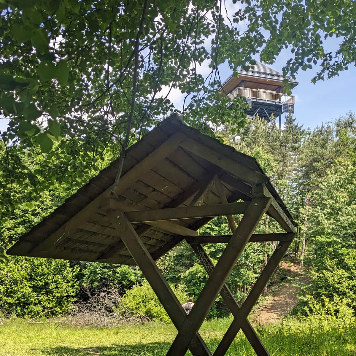
On the way, you can visit the viewing tower on Polczakówka.
Loop on Luboń Wielki: Yellow and Blue Trail
Since there is another yellow trail to Luboń Wielki starting from Rabka Zaryte, it's worth combining them into a loop. Hike up one trail and come down the other. Since the yellow trail goes through the steep, rocky Perć Borkowskiego, we recommend going up the yellow trail and coming down the blue trail.
Difficult
Yellow Trail to Luboń Wielki - Borkowski's Path