Across the Barnasiówka Ridge from Myślenice to Sułkowice
beach_access Route in the shade
directions_bus Can be reached by bus
Barnasiówka (566 m a.s.l.) – the highest peak of the Wieliczka Foothills (Pogórze Wielickie)
The Barnasiówka Range lies between Myślenice and Sułkowice in southern Poland. It belongs to the Wieliczka Foothills, and Barnasiówka is the highest peak of this area. Because the yellow-marked trail runs from one town to the other, and both have easy public transport to Kraków (Cracow), this is a good idea for a quick, close-to-the-city mountain walk.
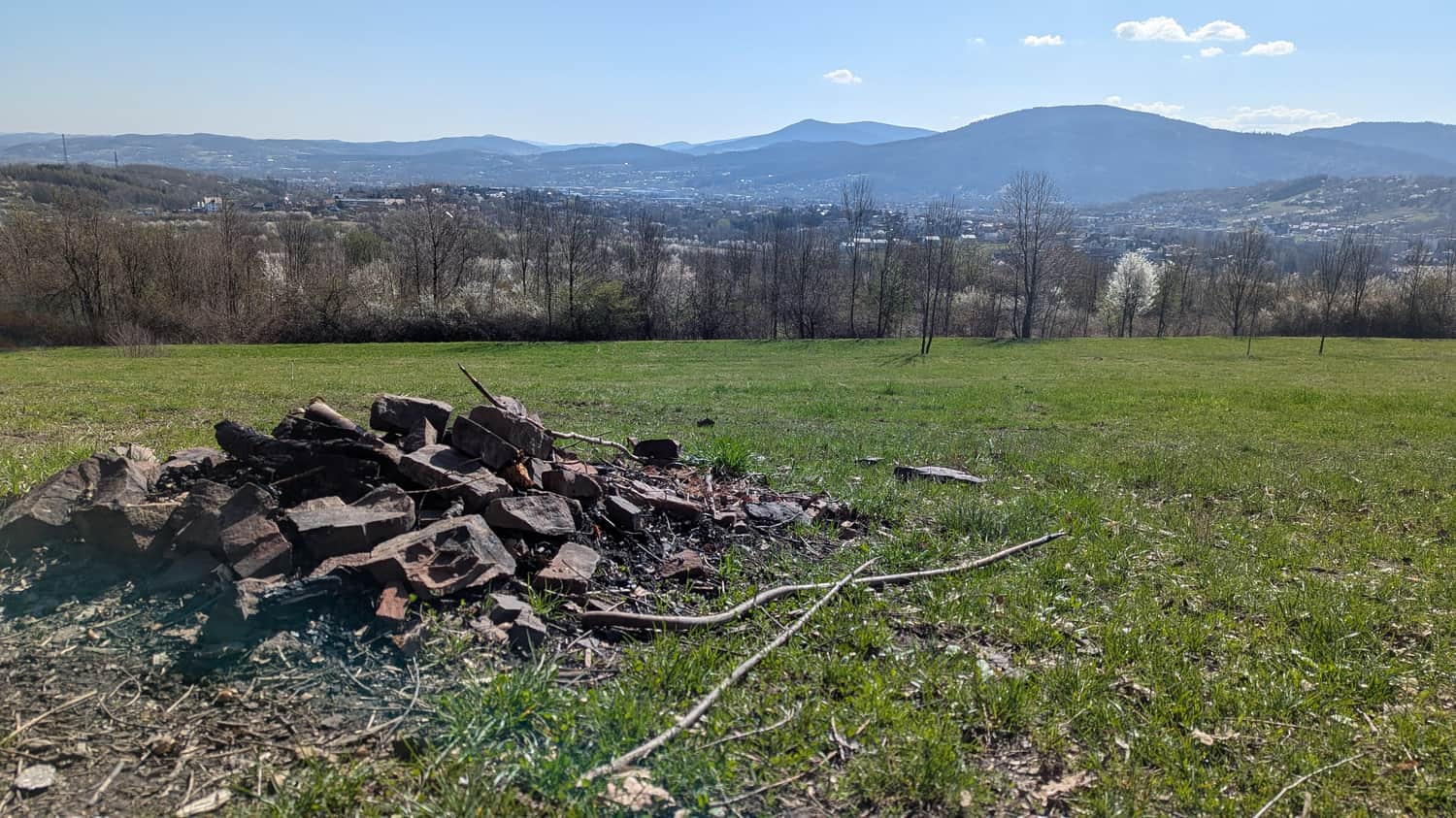
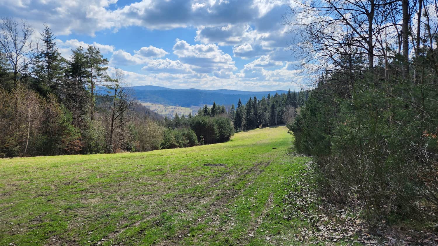
- The Barnasiówka Range is almost entirely covered by forest. It is good for hot days, but there are few wide views. There is only one open meadow on the whole ridge.
- The hills are not very high, but the climbs are steep. From the Sułkowice side you follow a forest gully with a rocky bottom — watch for loose stones and slippery tree trunks. Wear sturdy hiking shoes; trekking poles are helpful.
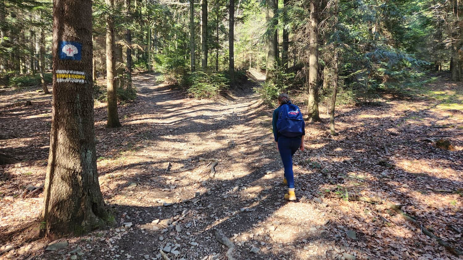
- The trail is well marked. It starts at the main square (Rynek) in Myślenice and ends at the main square in Sułkowice. Besides the yellow trail marks, you will see the scallop shell symbol of St. James’ Way (Camino de Santiago).
- Closer to Sułkowice you will find interesting rock formations called "Diabli Kamień" (the Devil’s Stone): a stone "club" and a rock "wall" — worth a short detour. In this article we explain how to reach them.
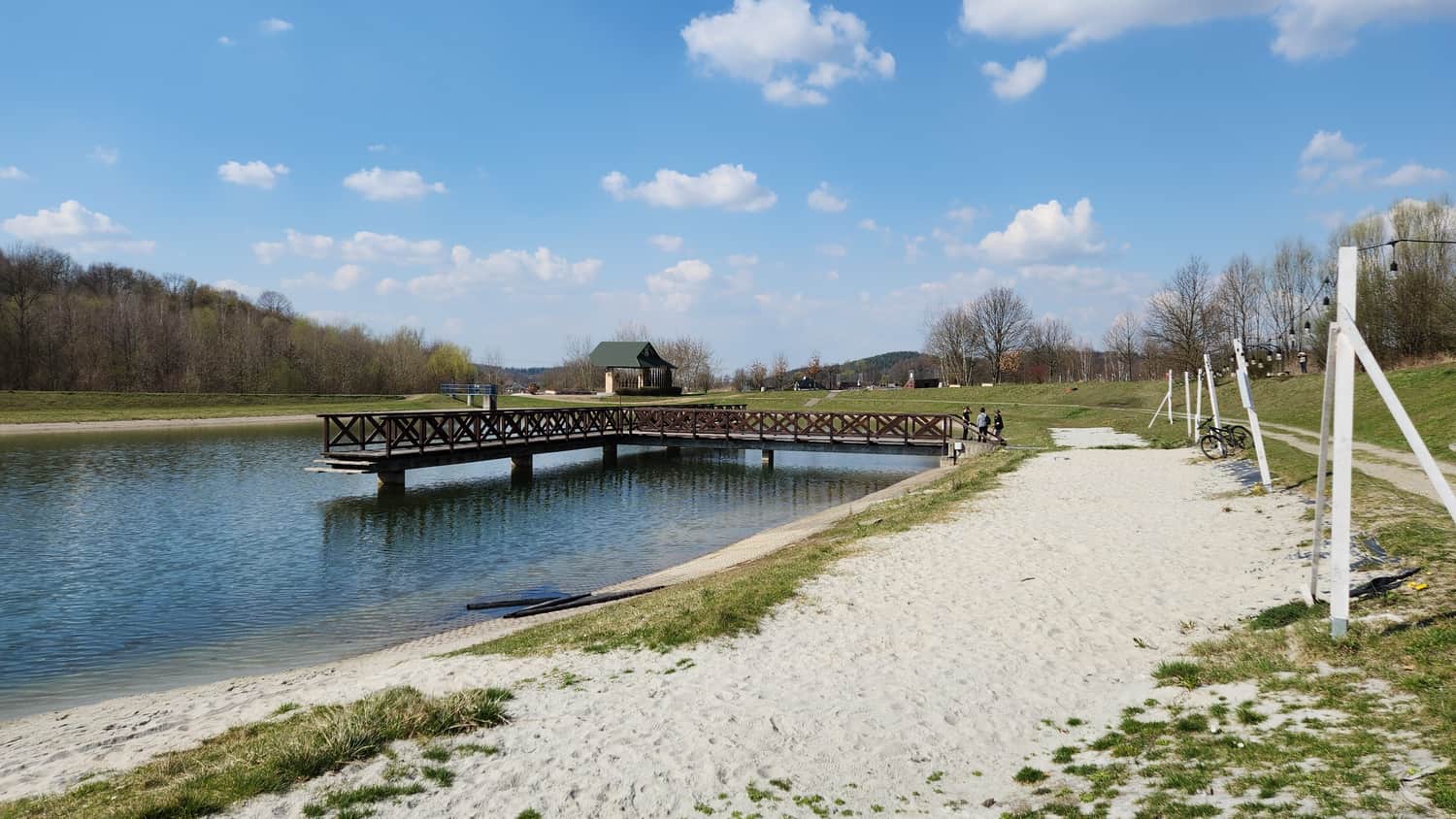
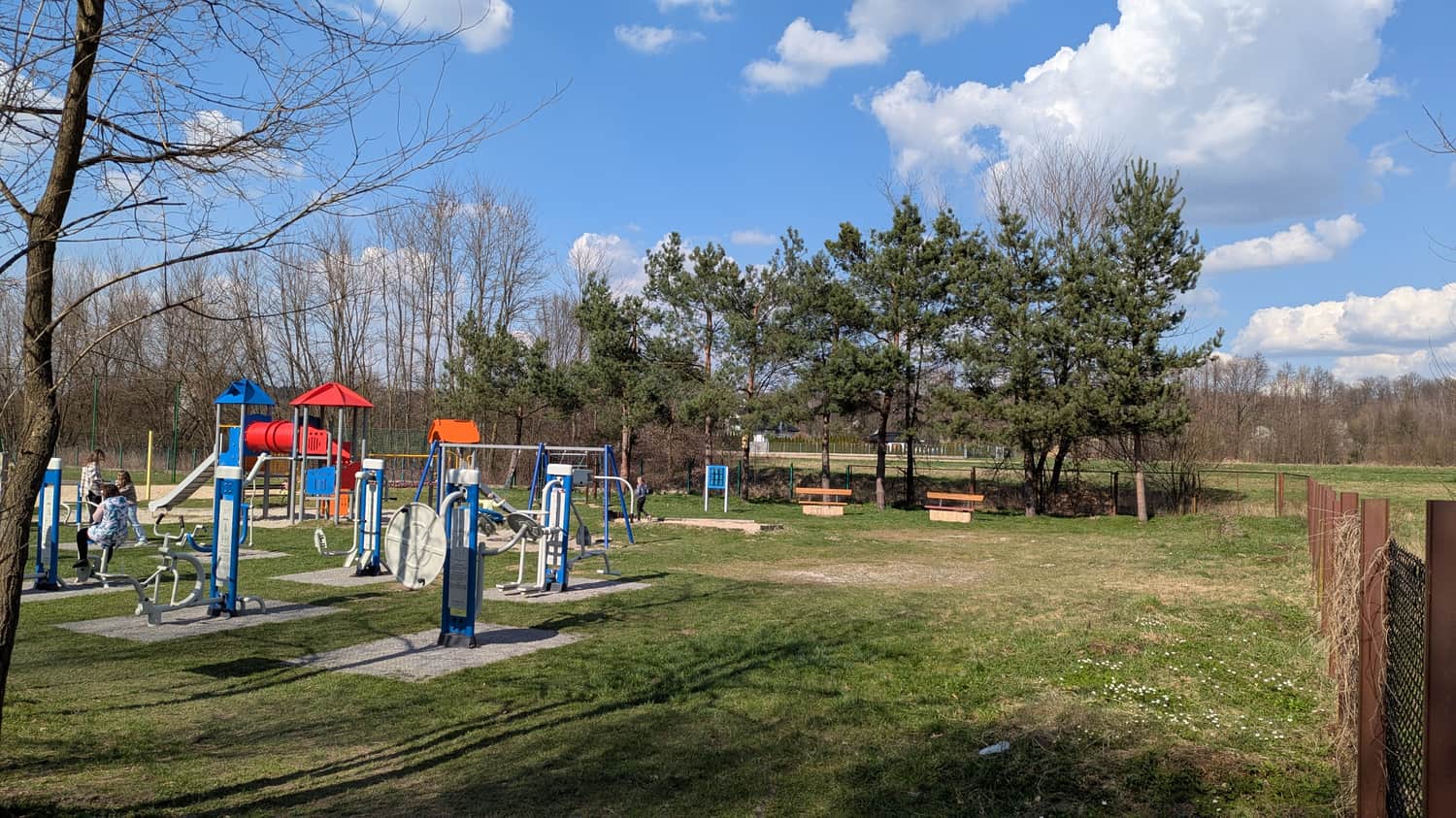
- Walking from Myślenice to Sułkowice, you can rest after the hike at the beach by the reservoir in Sułkowice. There is a playground; in summer a small food place is open, and you can rent kayaks or pedal boats.
- For children, the full ridge may be too long and a bit monotonous. You can make a much shorter trip by starting from Sułkowice and going only to the Devil’s Stone and the viewpoint meadow — this is the most interesting part of the route.
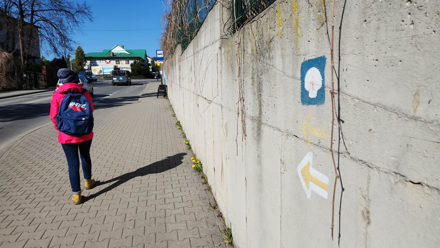
Start of the trail – Myślenice Main Square (Rynek)
The main square in Myślenice (Rynek) was set out in 1458. In the past two streets left each corner, but this layout has not survived. The houses around the square used to be wooden and often burned in big fires, so the oldest buildings you see today date only from the late 18th century. On the square you will see the town hall and the city symbol: the "Tereska" fountain-well. There is also a small chapel of St. Florian, the patron saint of firefighters.
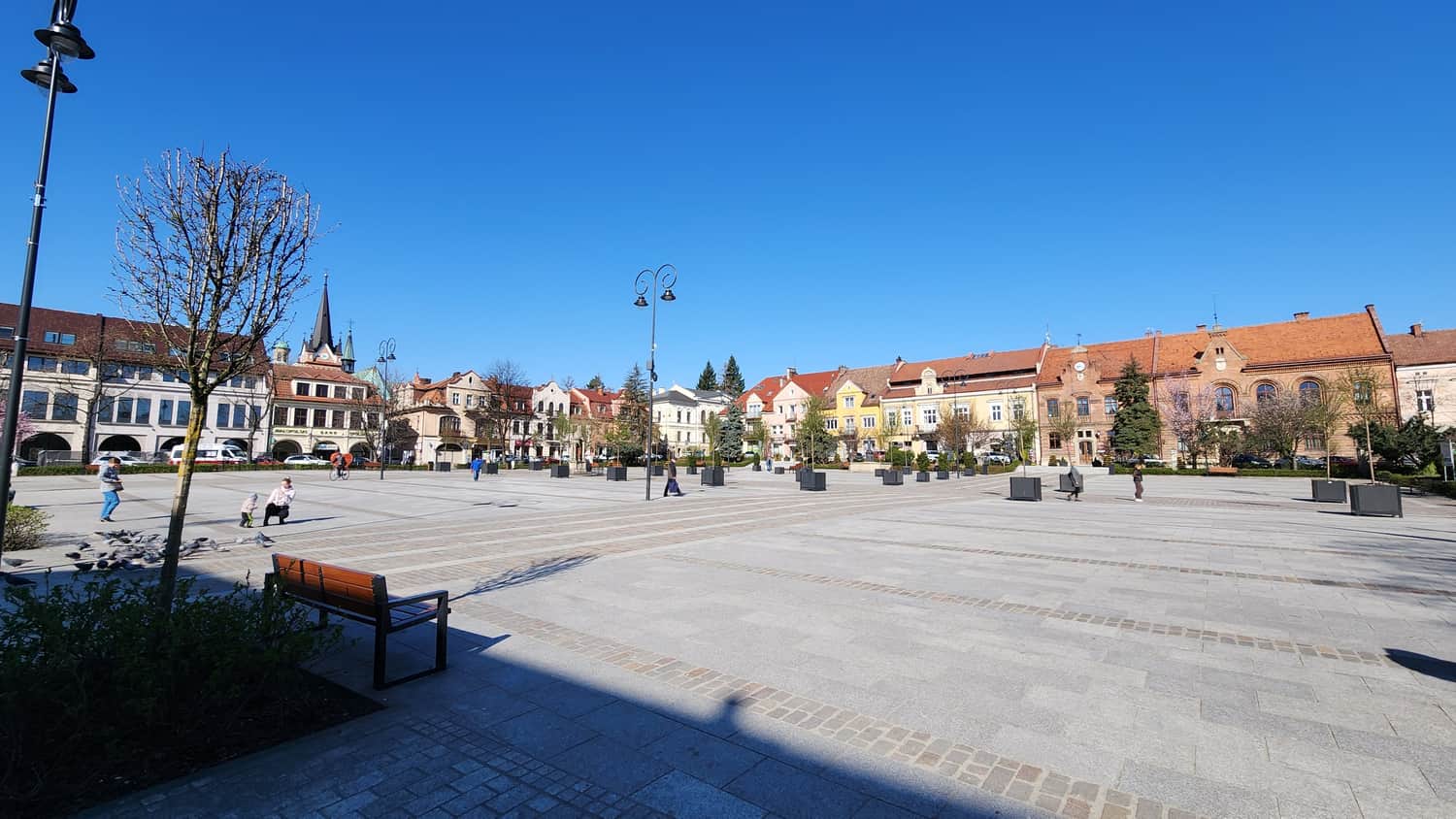
Stock up on water and snacks, then follow the yellow trail marks.
This is how you leave the town. Ahead is the Barnasiówka Range:
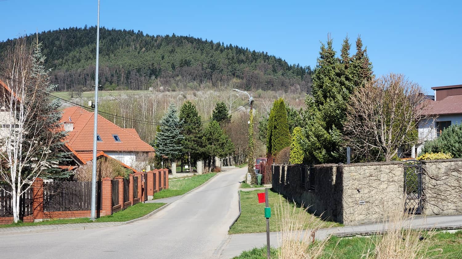
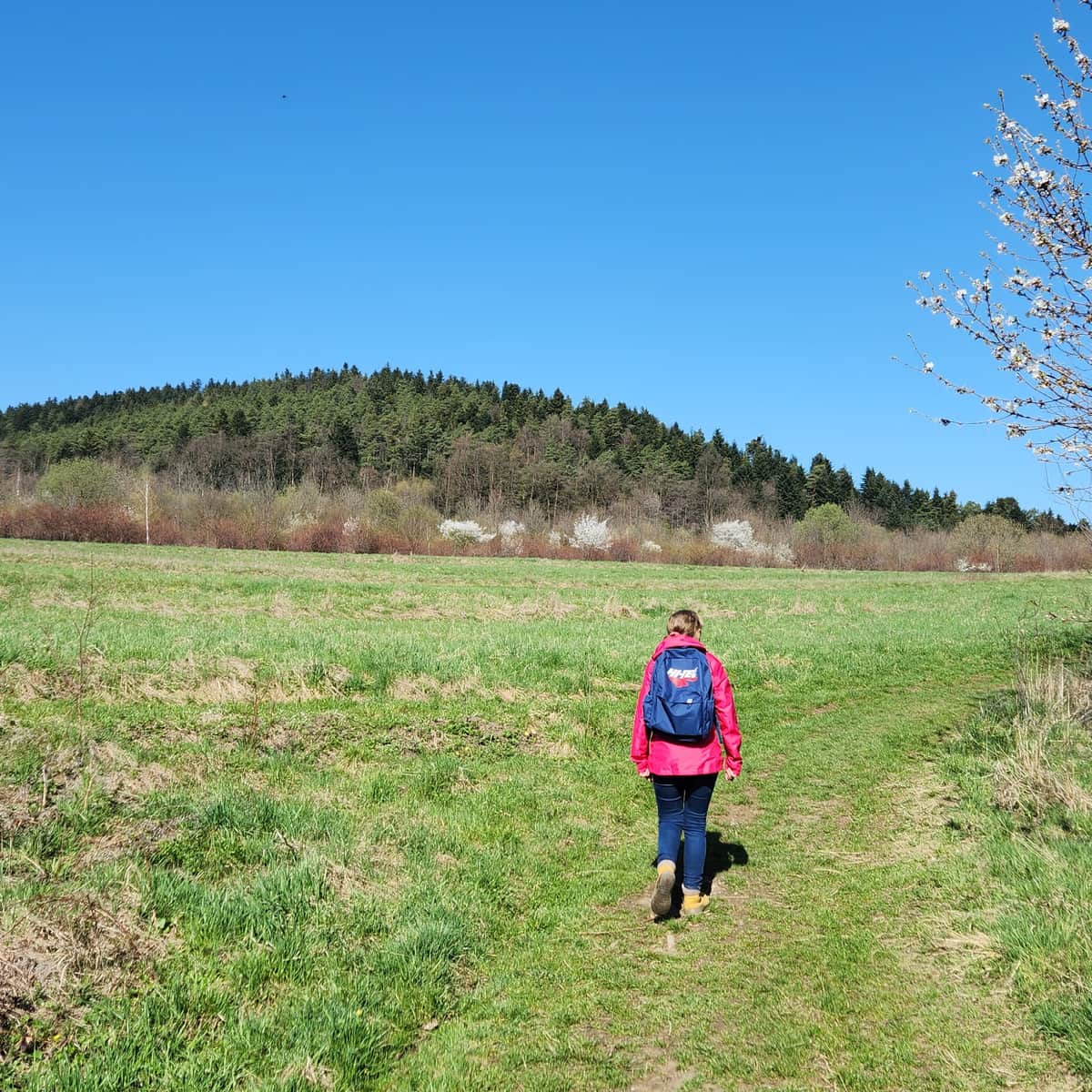
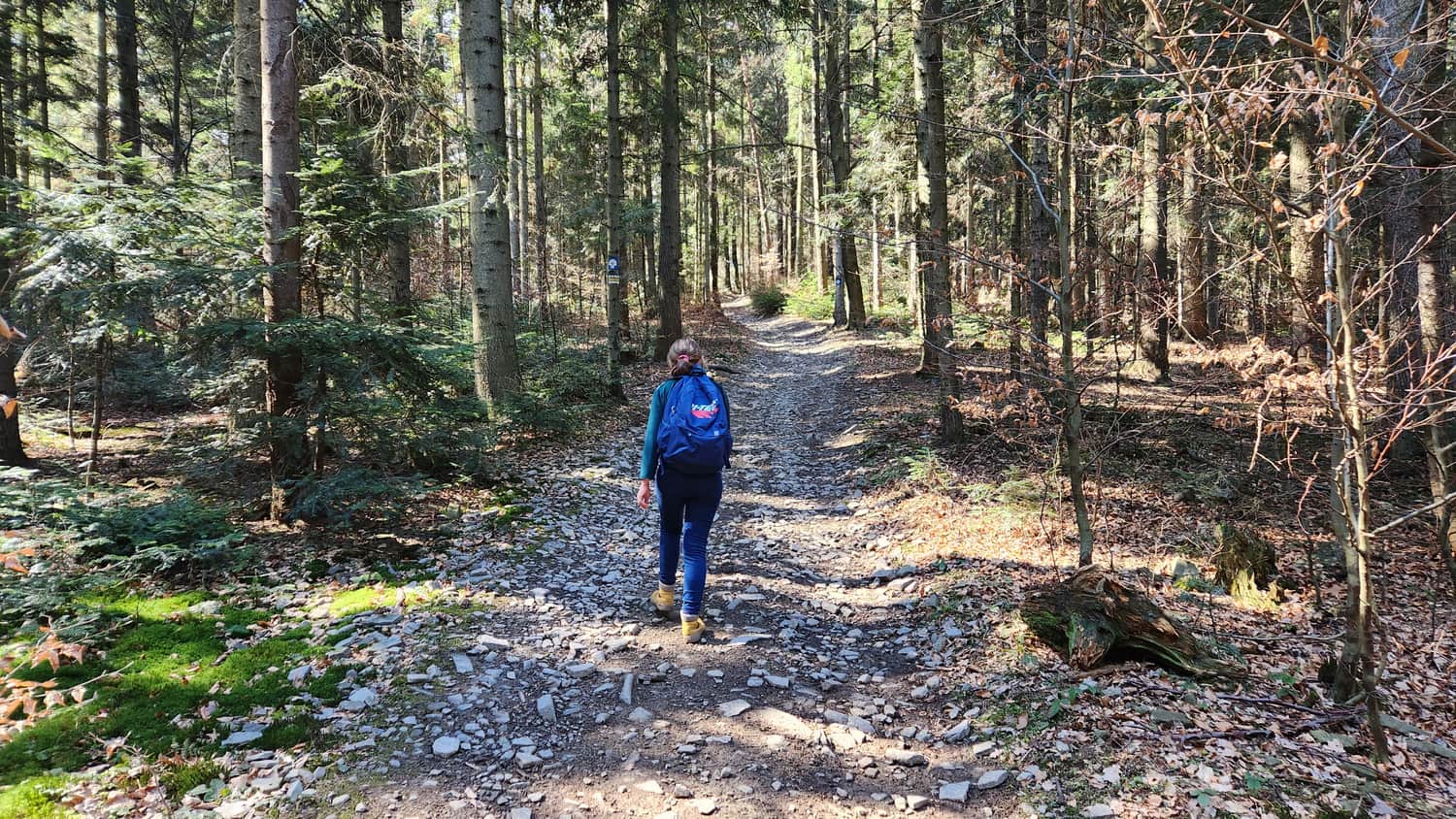
You first walk on field roads at the foot of the hills. There are wide, scenic meadows here — enjoy the views, because soon you will enter the forest.
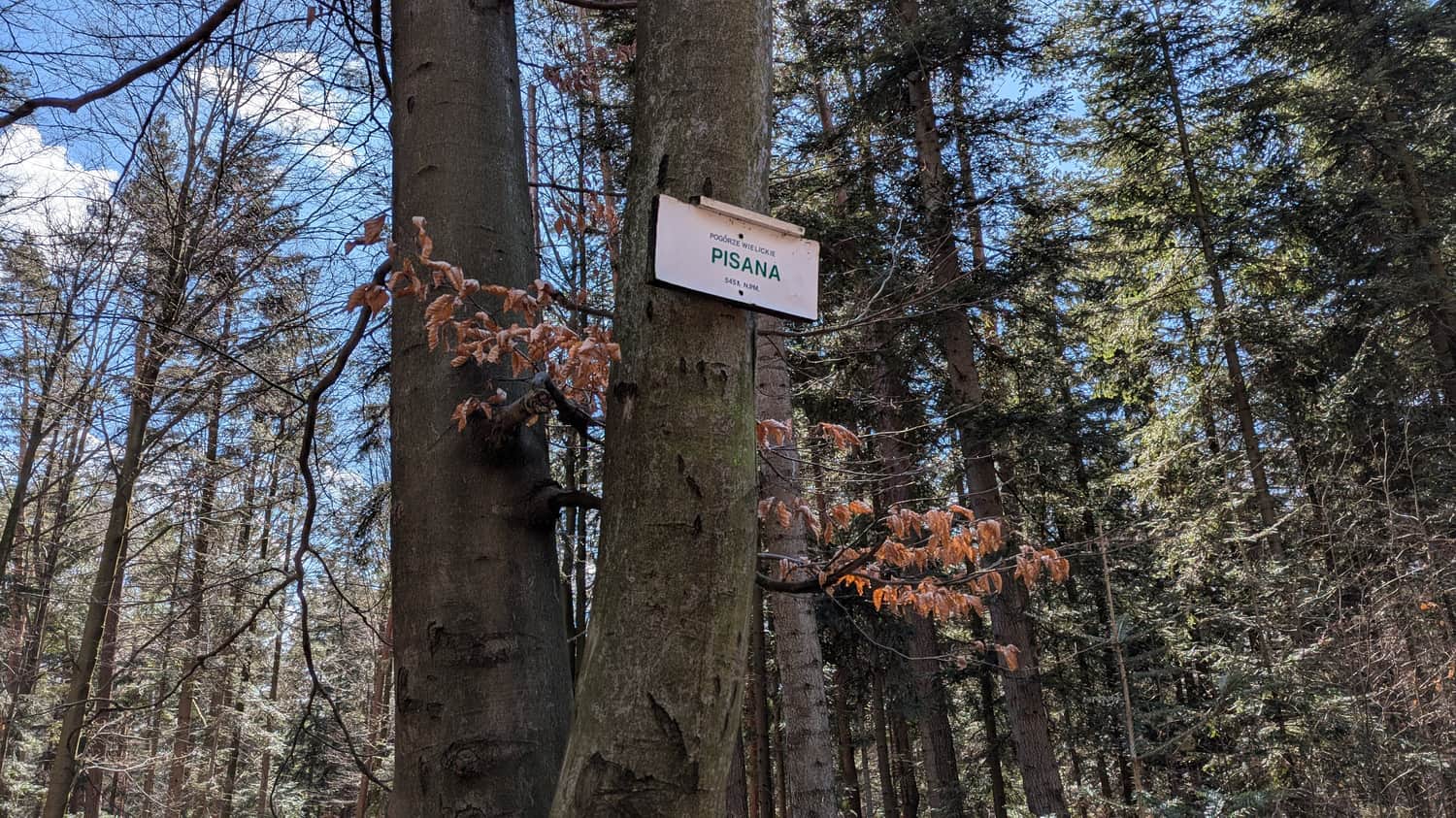
Ascent to Pisana – the first summit of the Barnasiówka Range from the Myślenice side
The climb to the top is short but steep. Over a small distance you gain about 100 meters of elevation. Pisana is about 545 m a.s.l. It is the westernmost hill of the Barnasiówka Range and is fully forested. There is only a small sign on the summit. We thought the hardest part was behind us!
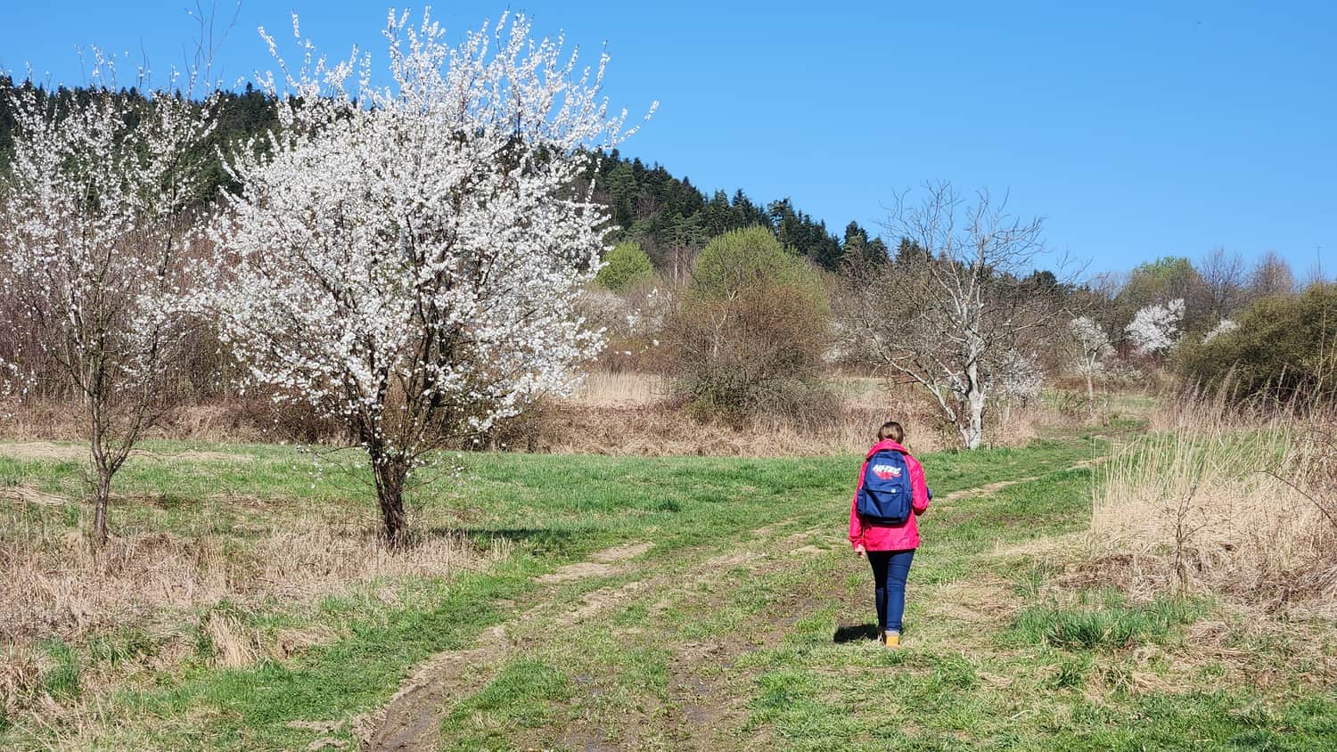
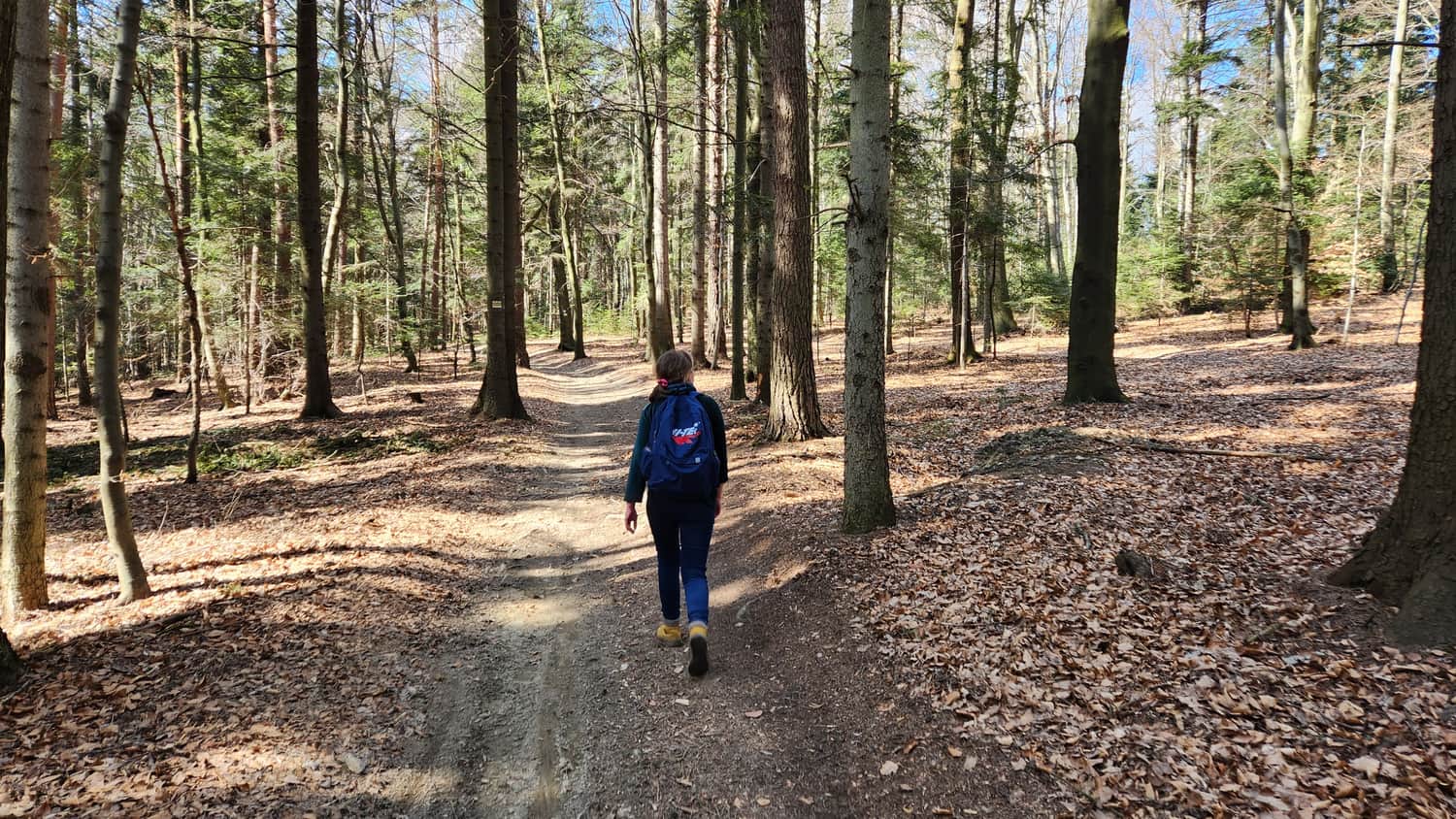
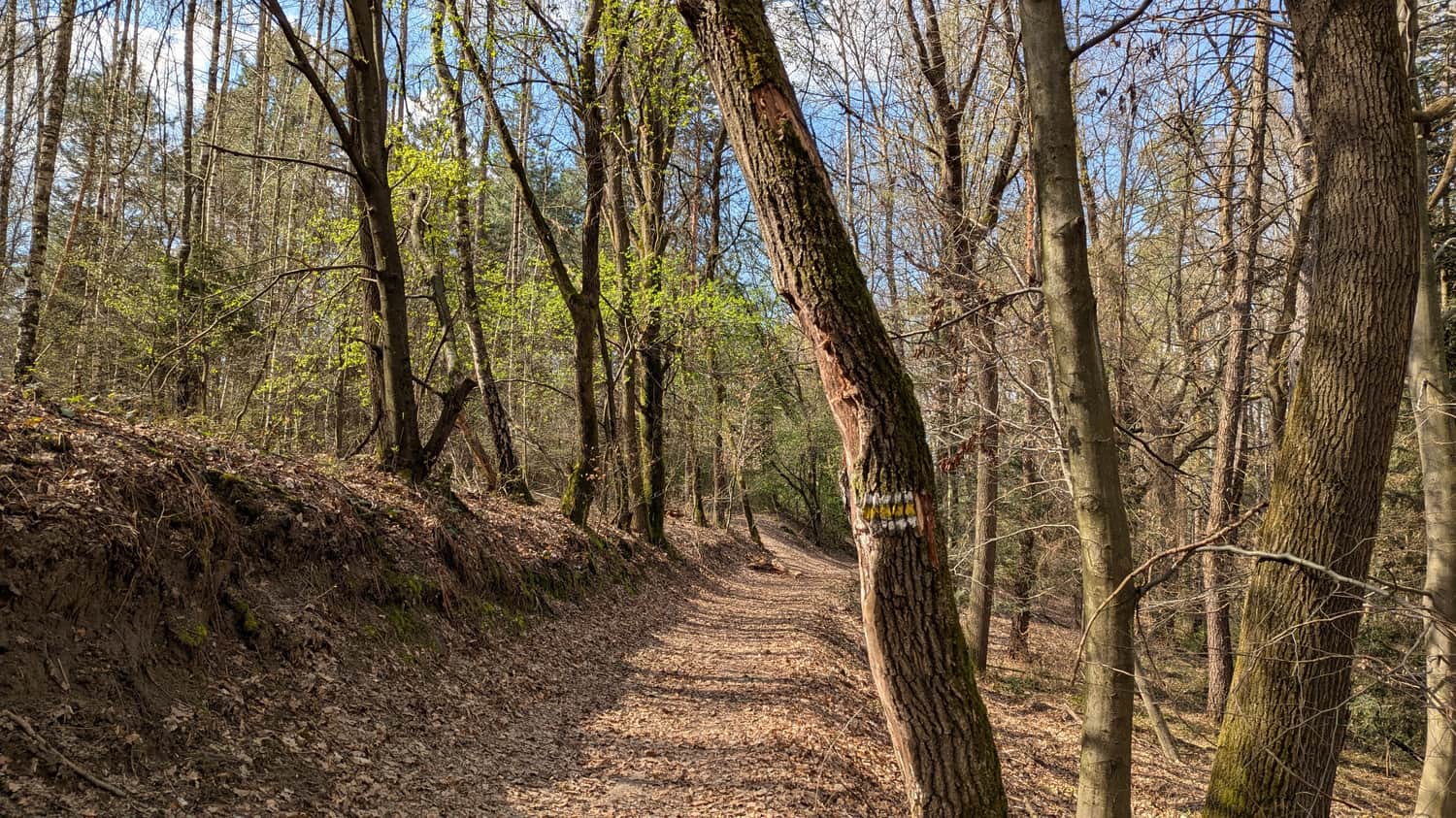
Along the ridge of the Barnasiówka Range
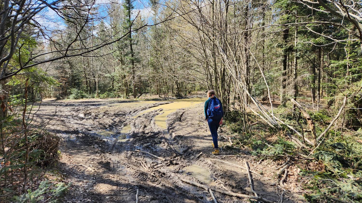
Along the ridge you follow a wide forest road with only gentle ups and downs. Parts of the road were rutted by tractors and, likely because it was early spring, very muddy. There were narrow, trodden paths around the big puddles, so passing was not a problem. The walk was calm and pleasant.
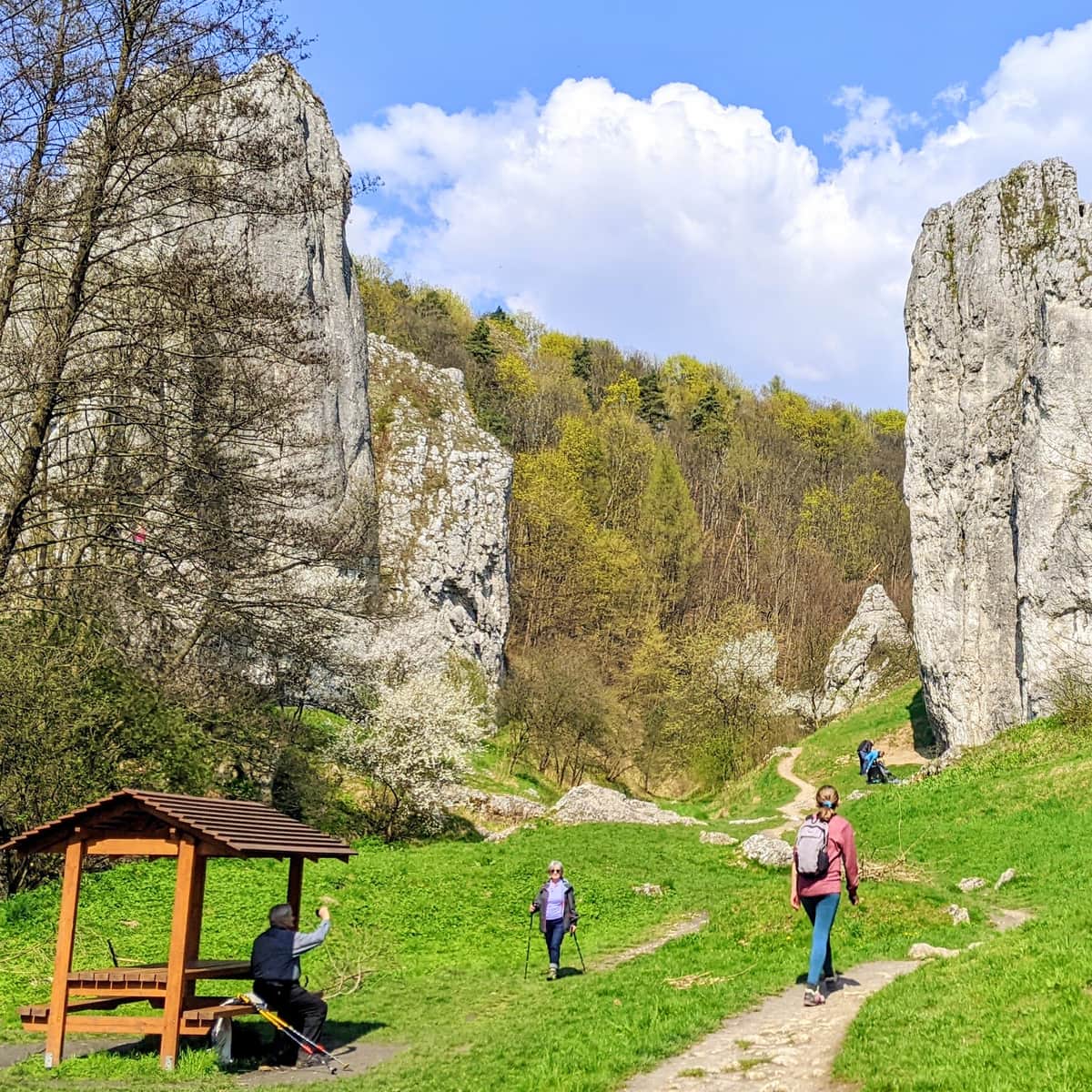
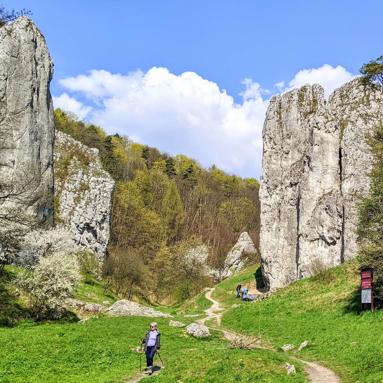
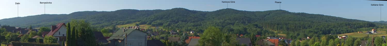
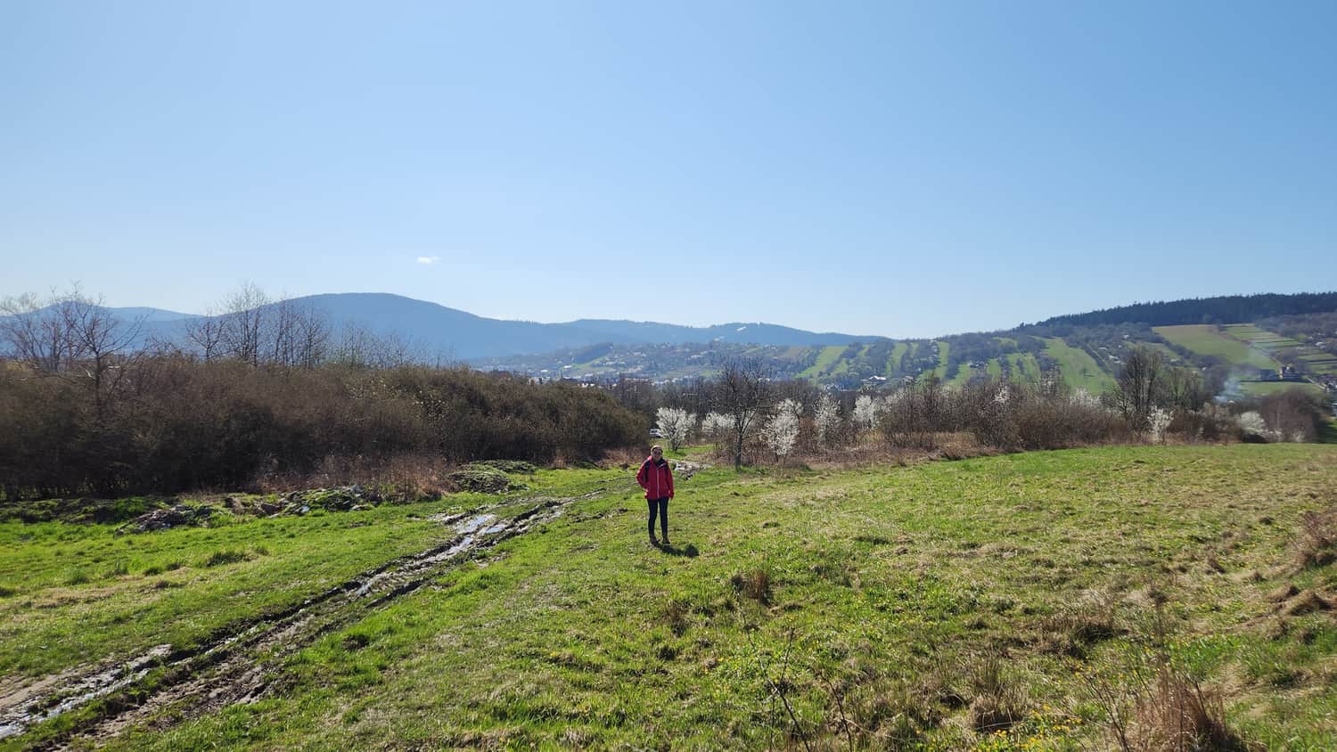
Viewpoint meadow near the Kaniowa Góra summit
About 10 minutes before the top of Kaniowa Góra you reach the first and only open meadow with a nice view like this:
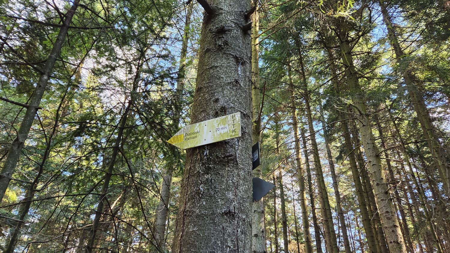
Climb to the Devil’s Stone (Diabelski Kamień)
To reach the Devil’s Stone, watch for the split of the yellow trail near the Kaniowa Góra summit — a signpost points towards the rocks. The detour to the rocks takes about 20 minutes. It is also not easy because it is steep in places, but it is worth the effort.
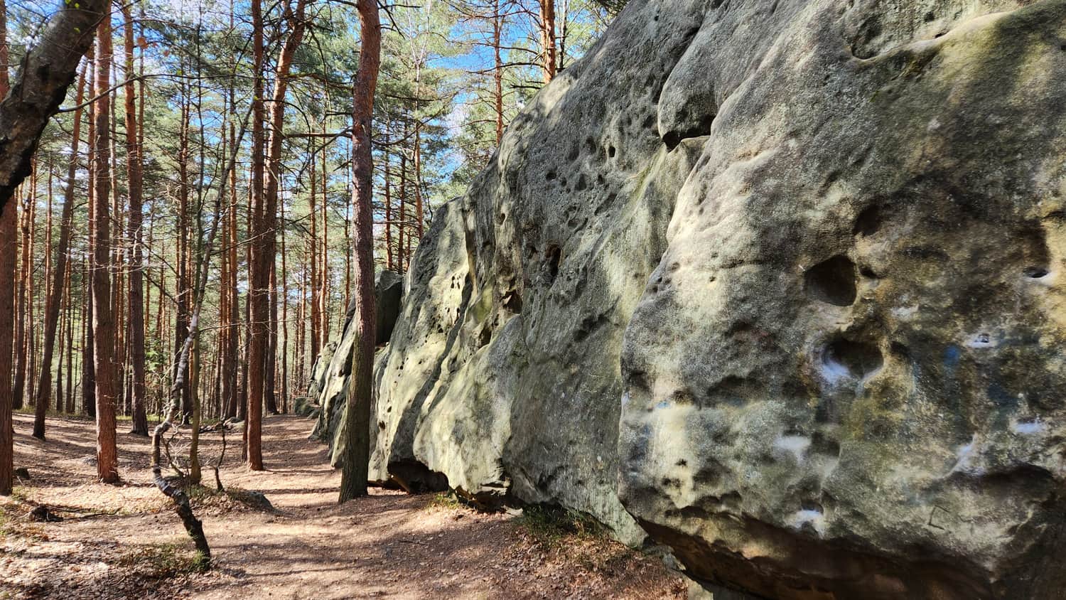
Devil’s Stone is a group of interesting rocks on the north slope of Kaniowa Góra in the Barnasiówka Range. One rock is a tower about 10 meters high; the other is a rock wall about 40 meters long and 4–6 meters wide. Devil’s Stone is a protected natural site in the Sułkowice commune. The rocks are made of Istebna sandstone, which is more resistant to weathering. In some places you can see rusty-yellow colors from iron and round hollows in the rock.
Like many other "devil’s stones" in Poland, this one also has a legend:
"After the sanctuary in Kalwaria Zebrzydowska was built, people lived in peace and harmony. The devil could not stand this and decided to destroy the sanctuary with a huge boulder. He made an agreement with St. Peter that he would drop the boulder wherever a rooster’s crowing caught him. The stone was so heavy and he carried it from so far away that he did not make it before dawn. A rooster crowed as he was passing the Barnasiówka Range, so he left the stone here in the forest."

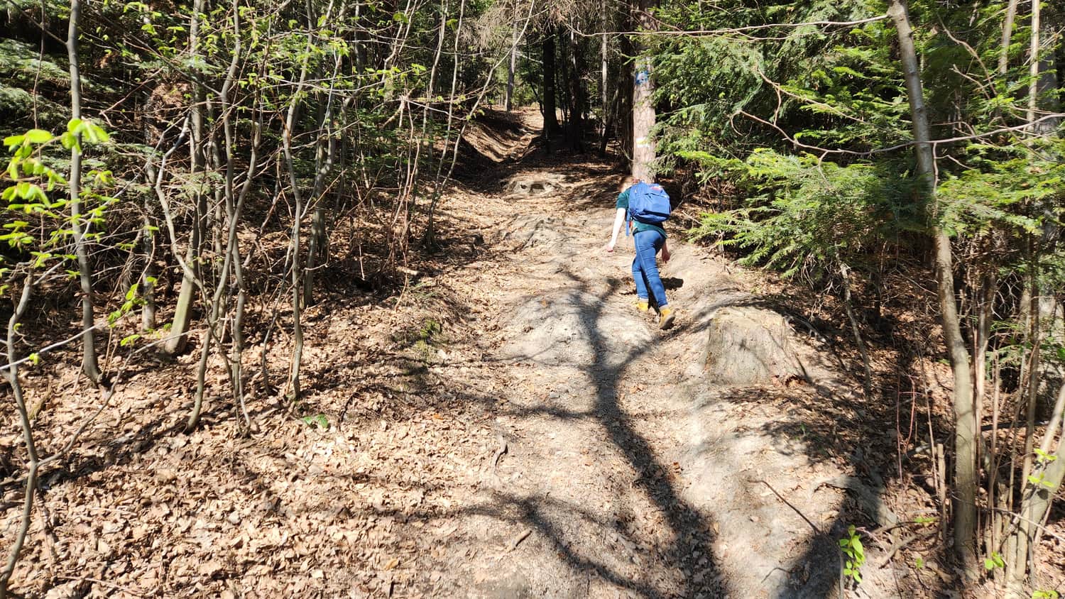
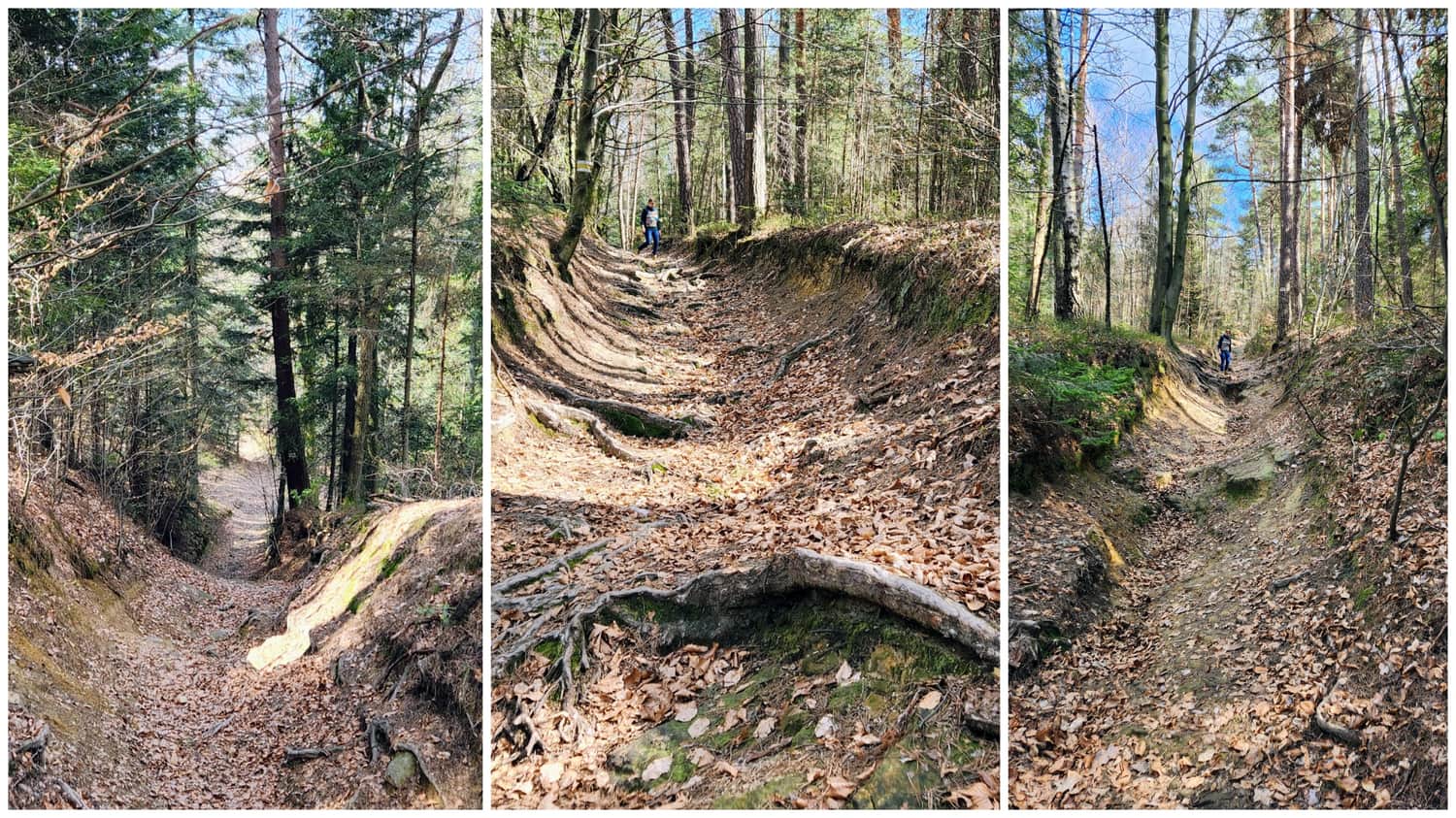
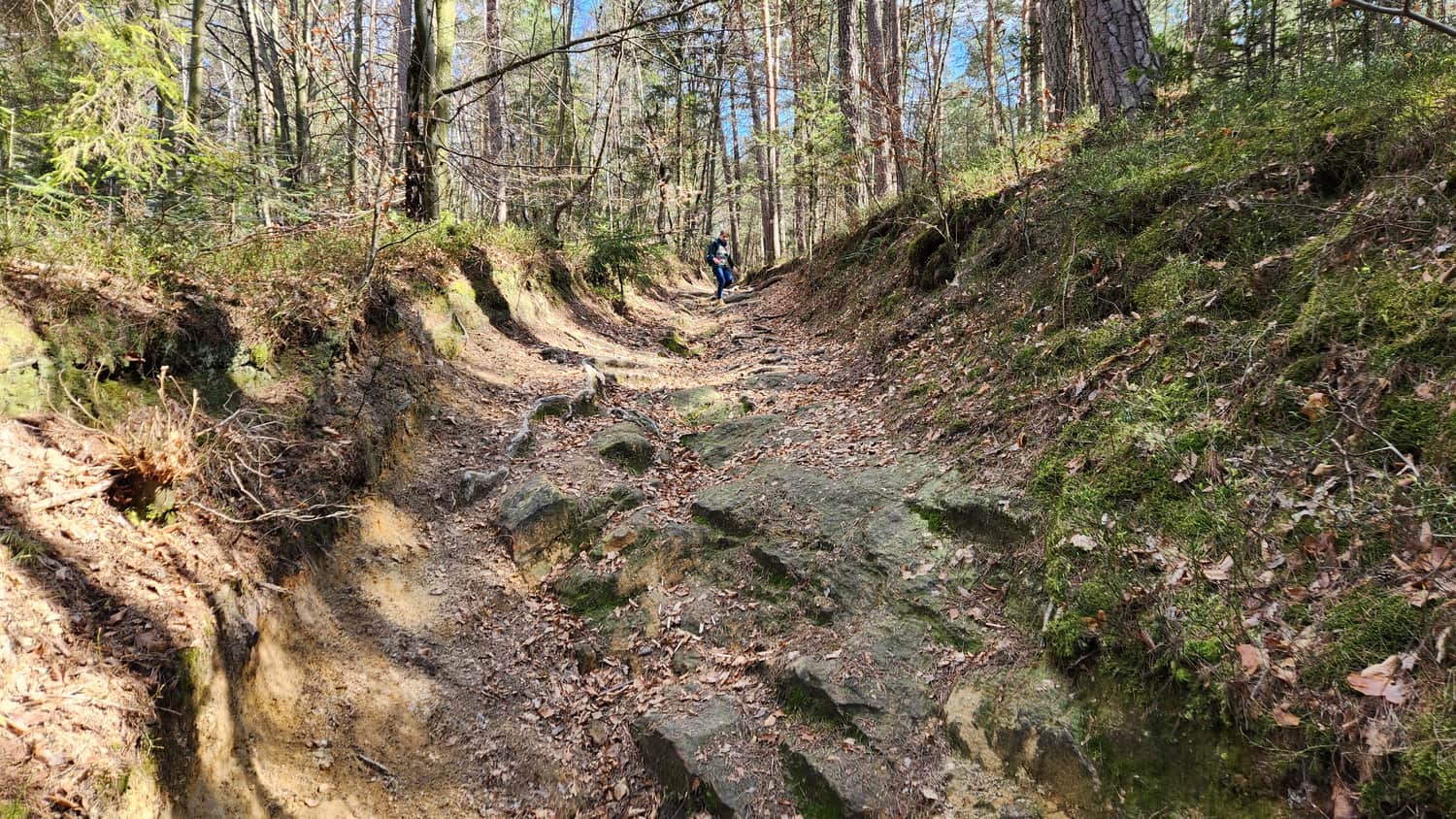
Descent to Sułkowice
You descend to Sułkowice through a forest gully with a rocky bottom and steep slope. The gully looks fairy-tale-like with mossy trunks and hanging roots, but the descent is not easy. Be very careful, especially with children. After rain the rocks can be slippery; in spring dry leaves and dry roots can also be tricky. It was the most difficult part of the trail, but also very interesting.
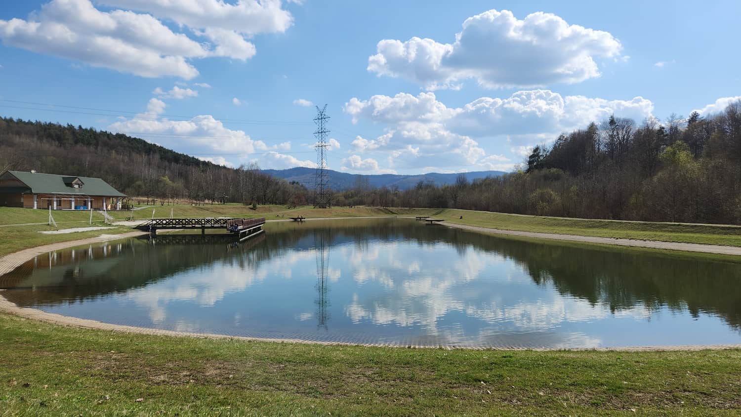
Sułkowice Reservoir
The trail reaches the recreational reservoir in Sułkowice. You can rest on a small beach or on wooden piers. Outside the summer season local places to eat may be closed, but the spot is pleasant and scenic.
Return to Kraków (Cracow)
Buses to Kraków depart from the main square (Rynek), near the church.
Buses running from Zawoja also stop here, for example: x-bus timetable. The ride to Kraków city center takes about 45 minutes.

Publish Date:
More in the Region Okolica Krakowa (The Surroundings of Krakow)